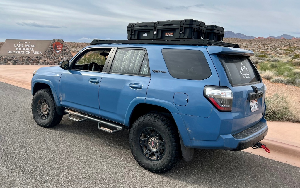

LAKE MEAD NATIONAL RECREATION AREA
Activity: Day Hike
3.2 Miles, 252’ elevation gain, 2 hour duration, Rated Moderate
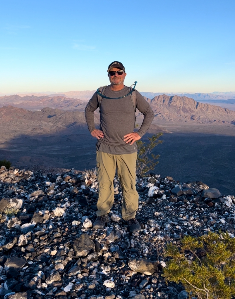
Date: April 25, 2024

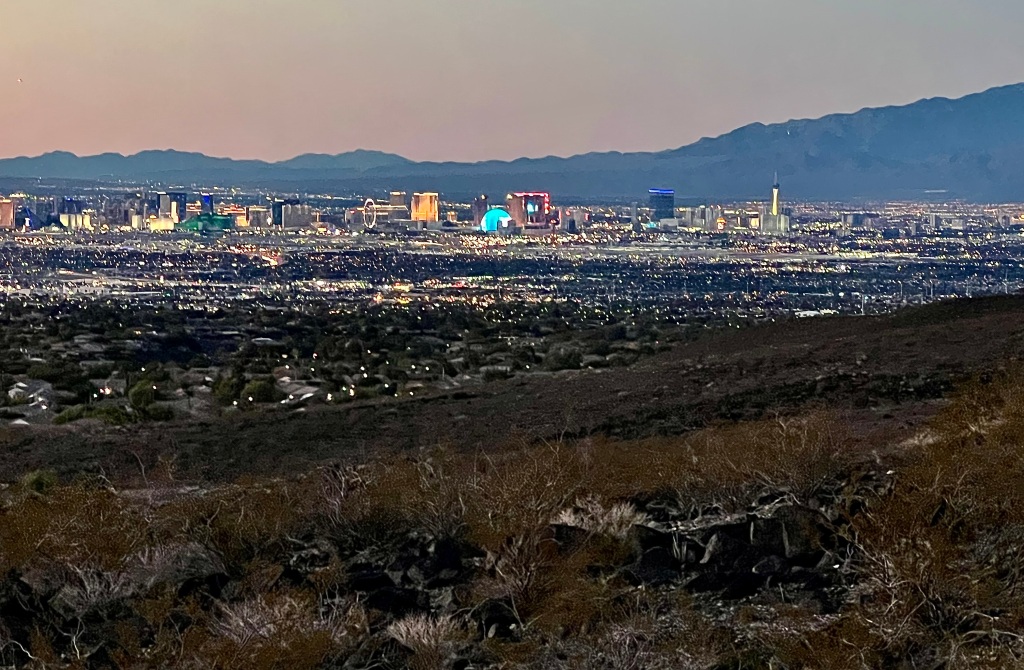
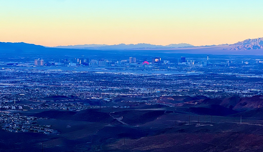
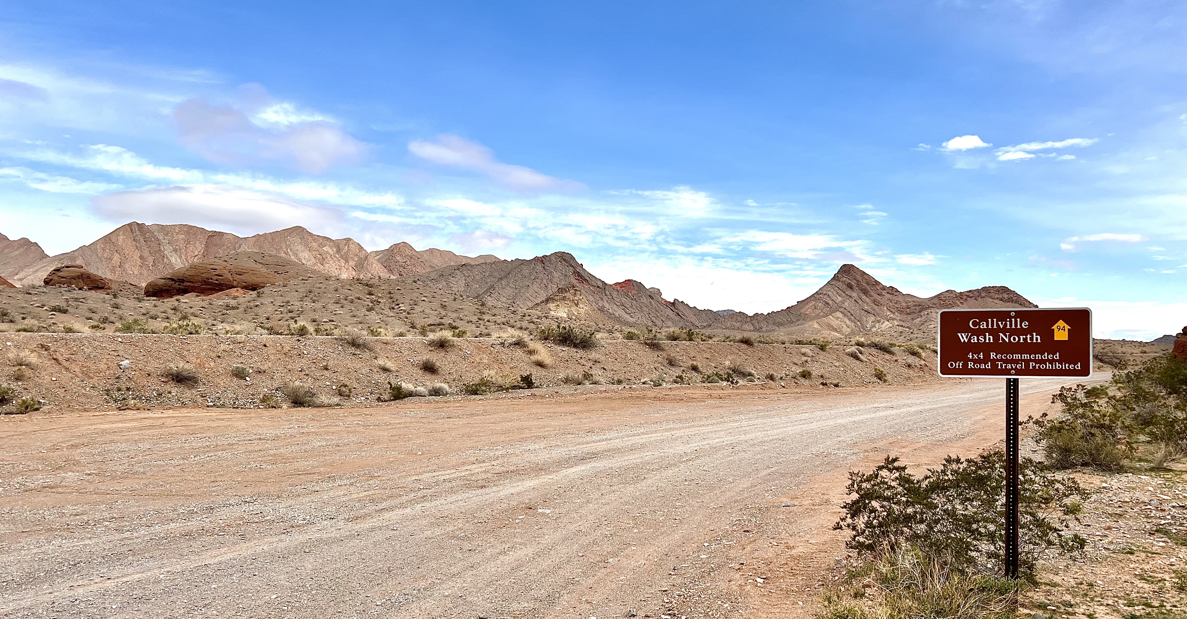
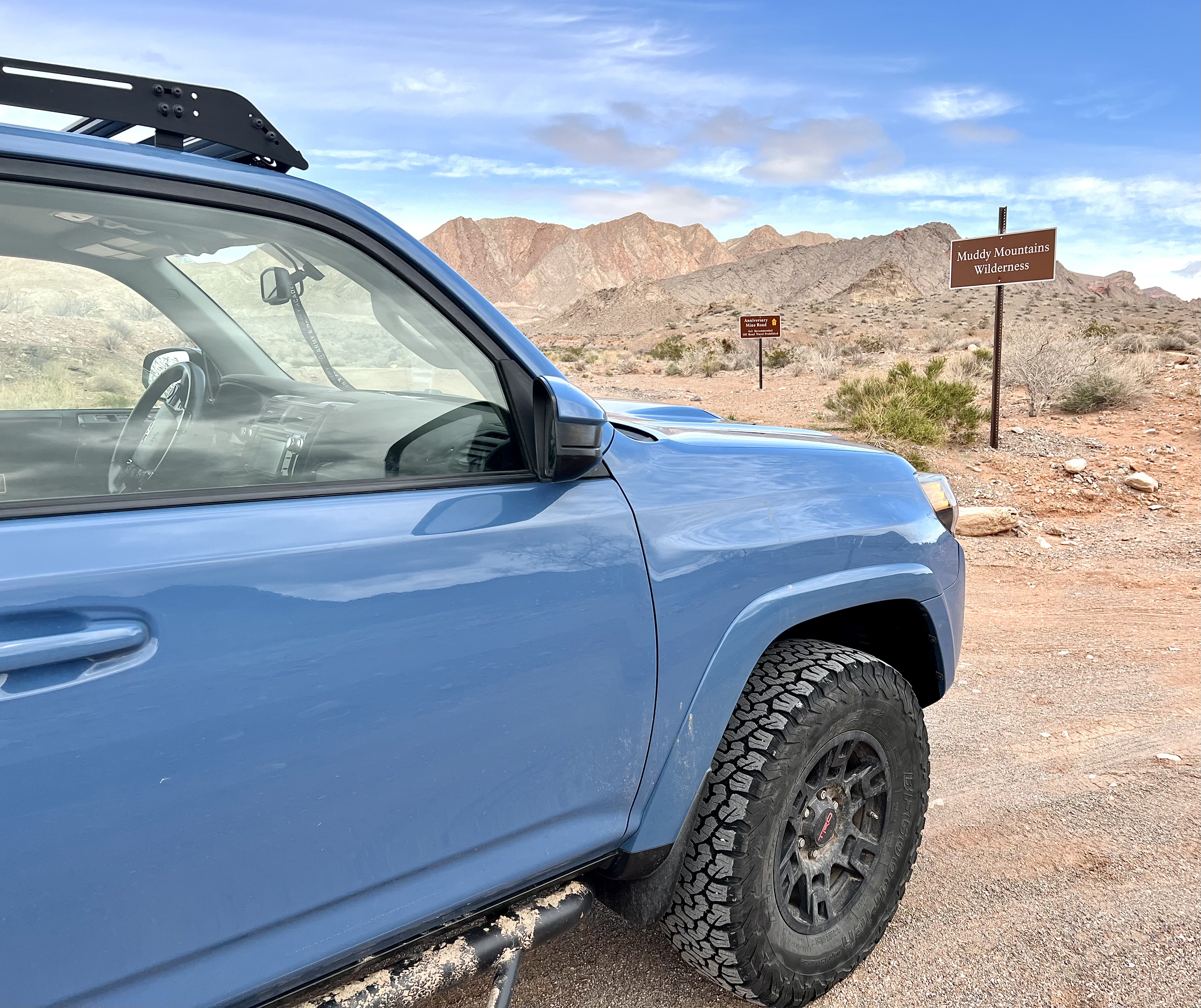
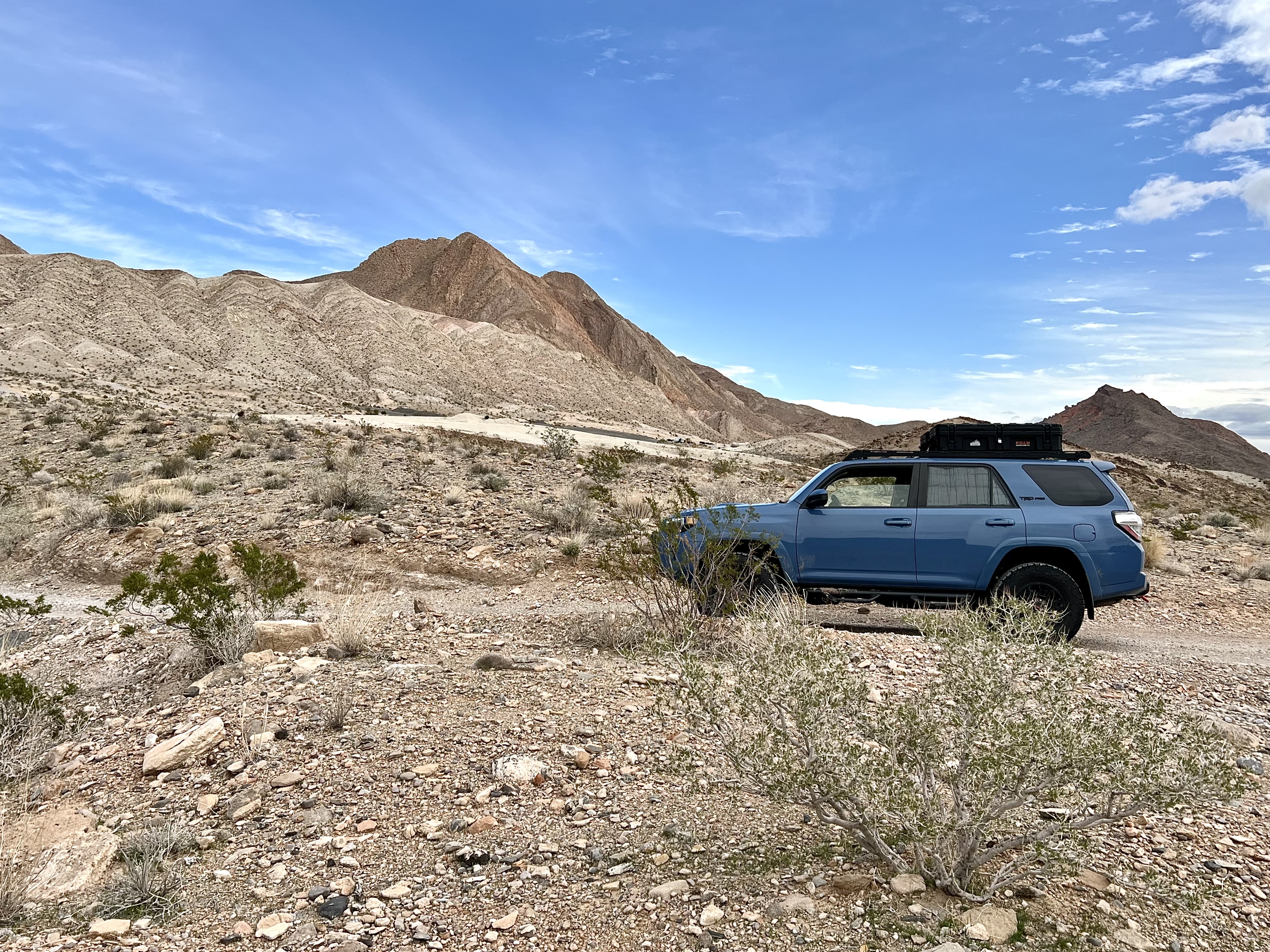
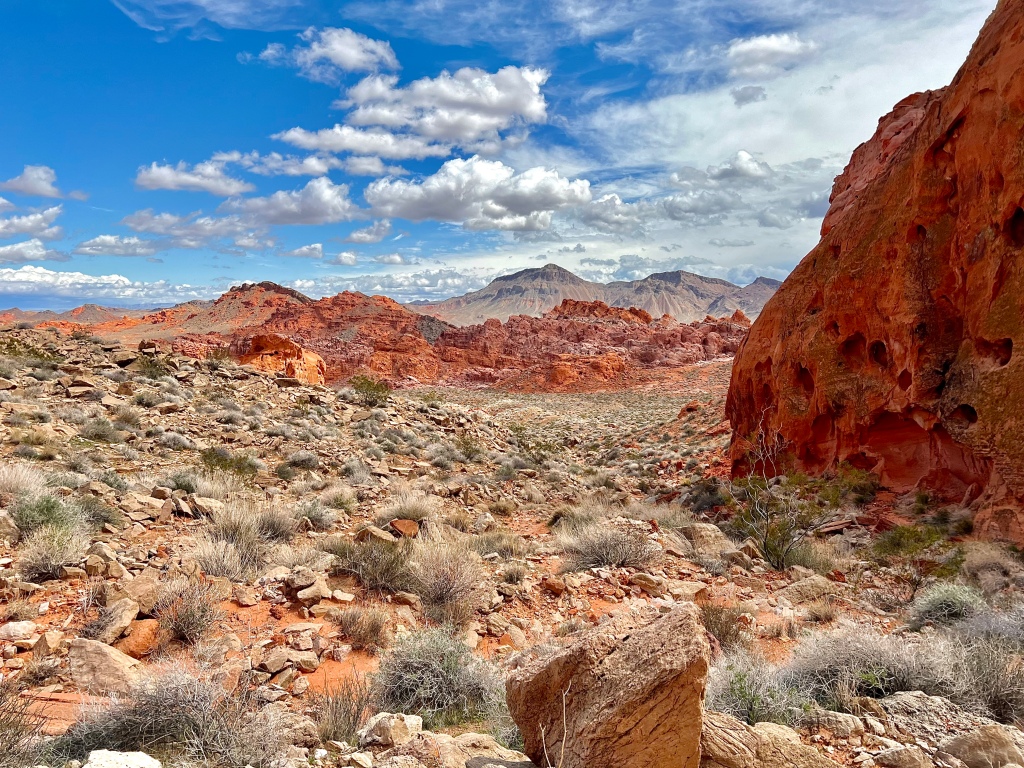
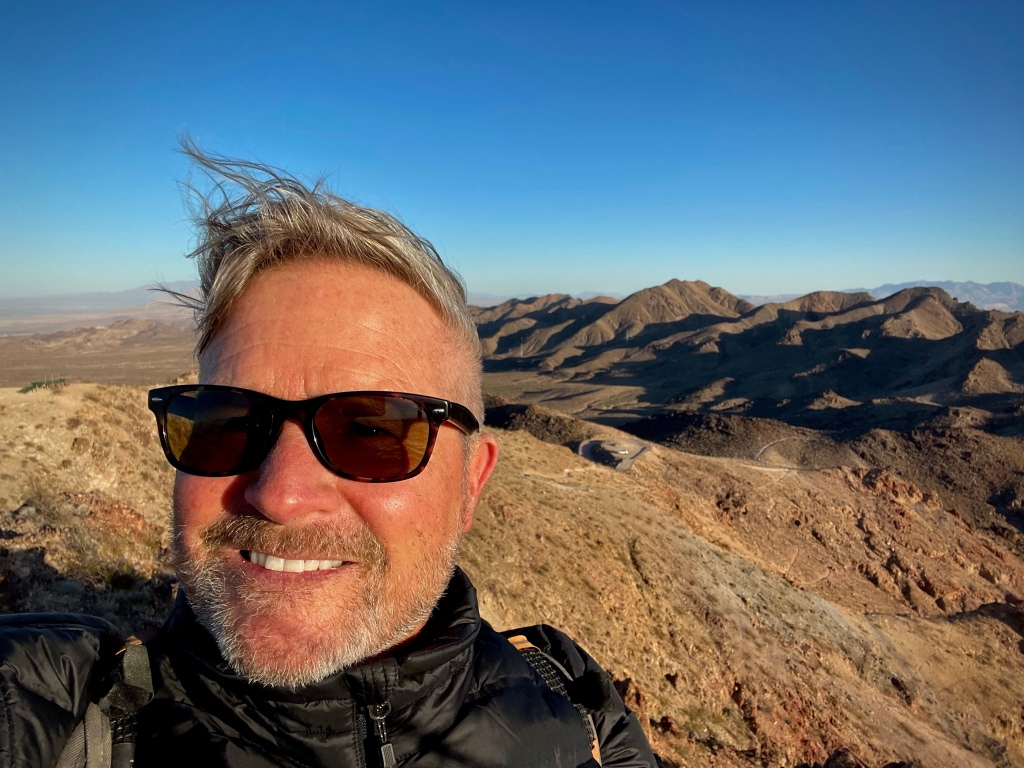
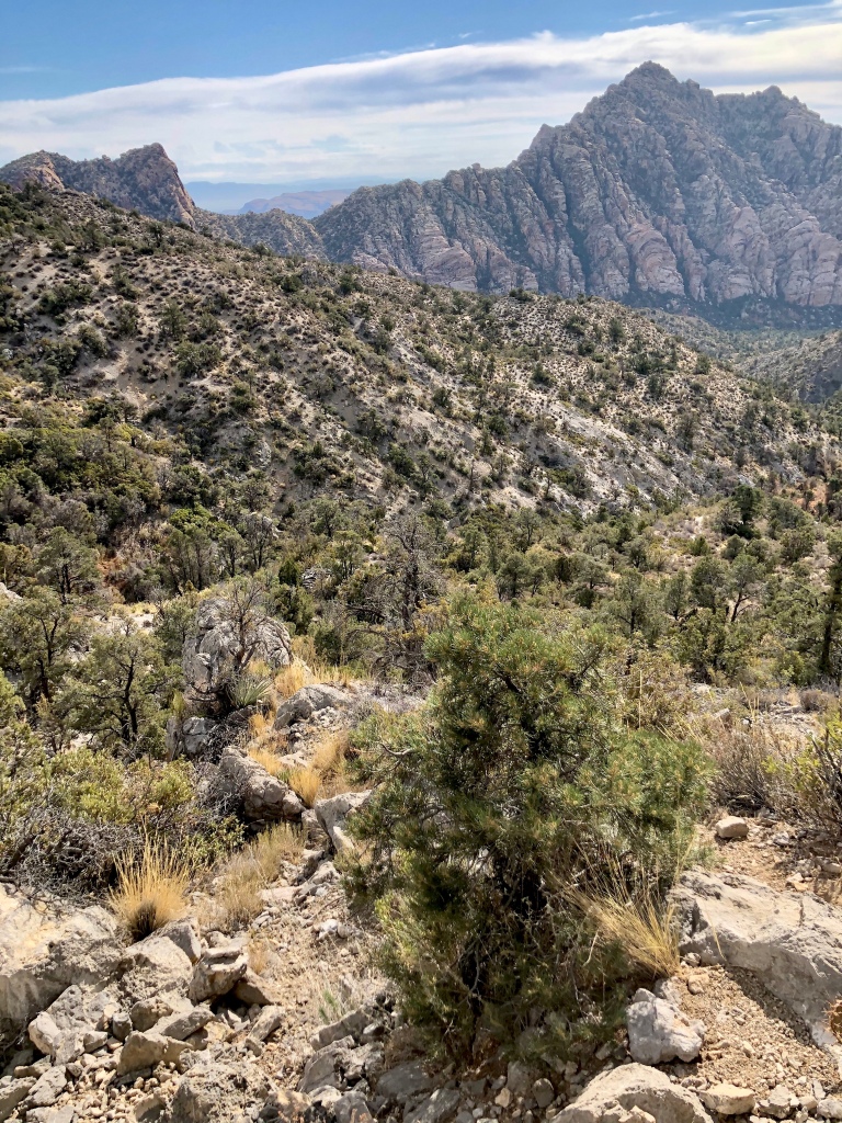
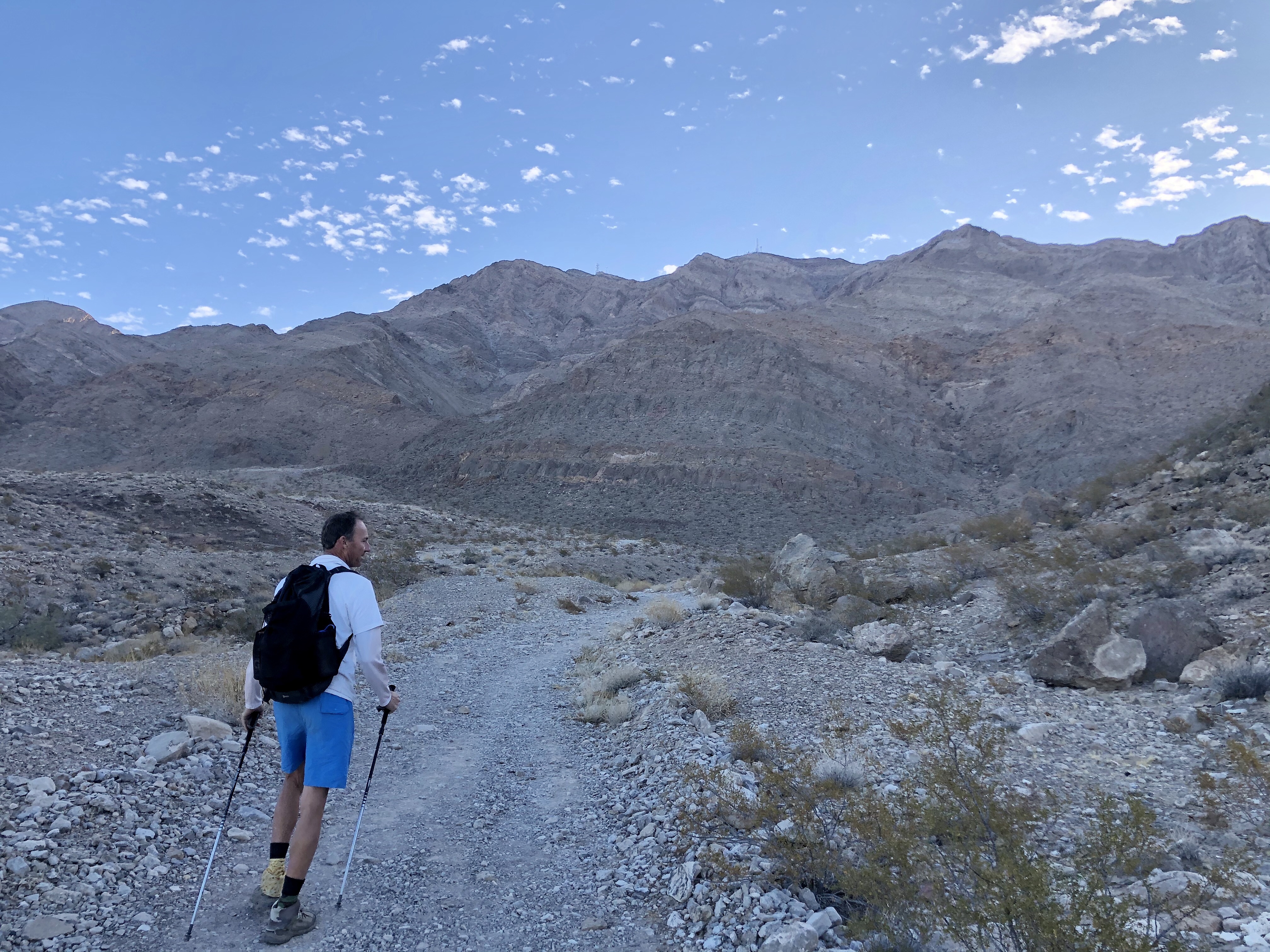
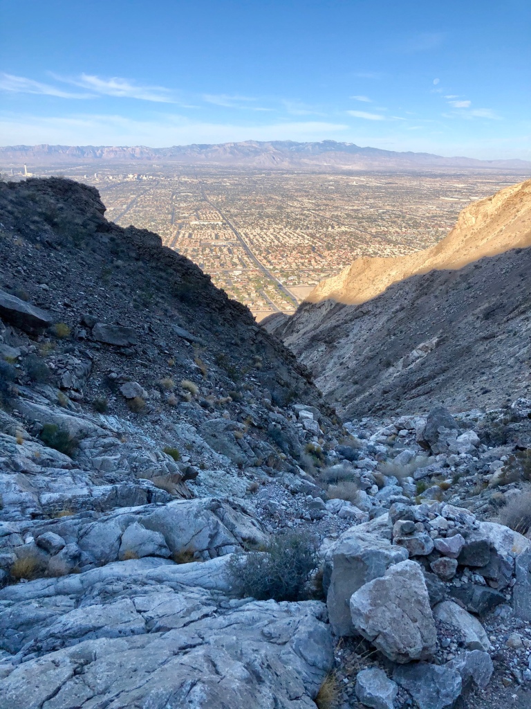
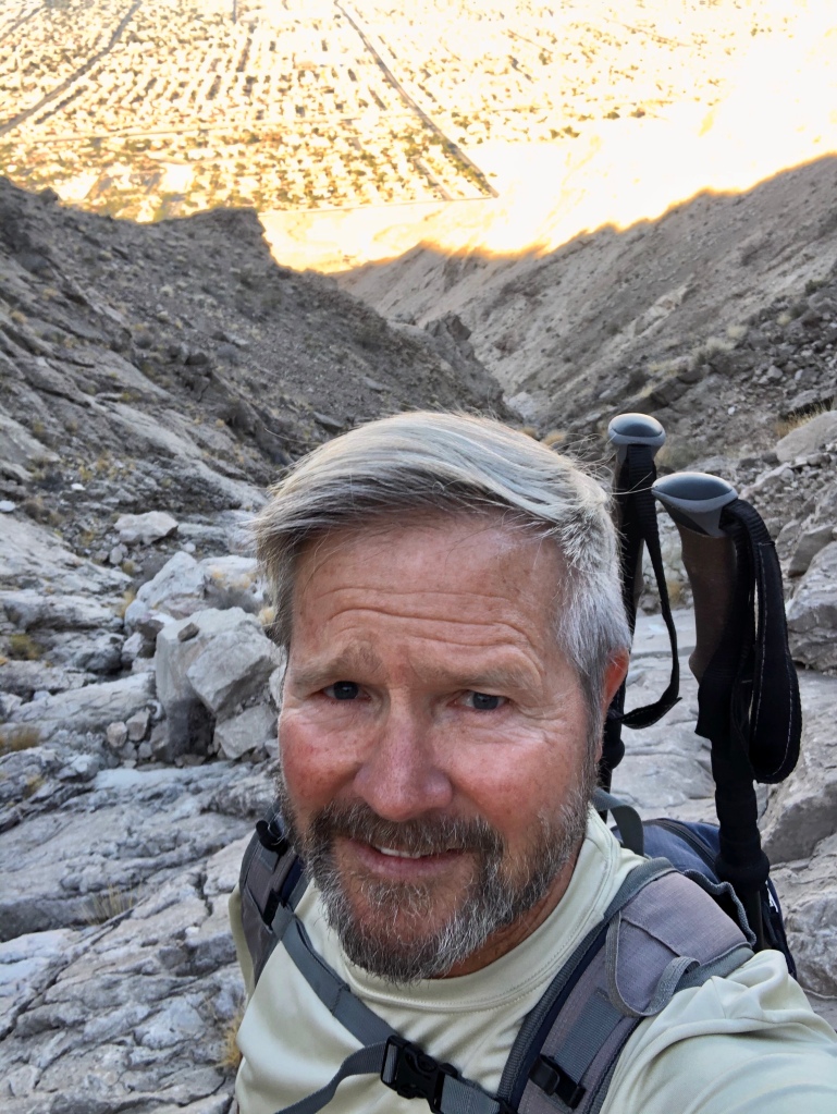
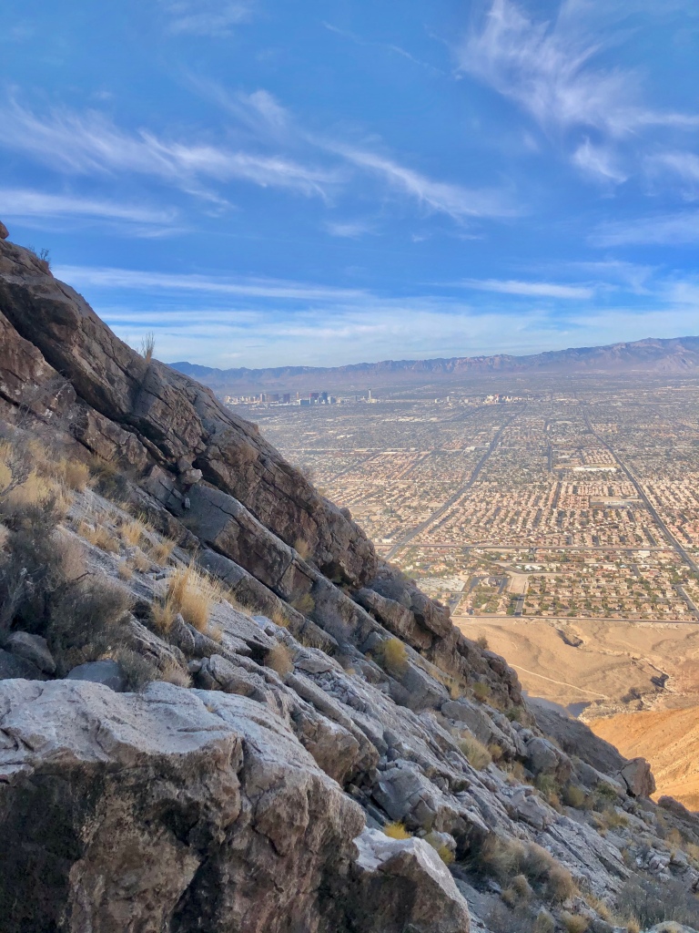
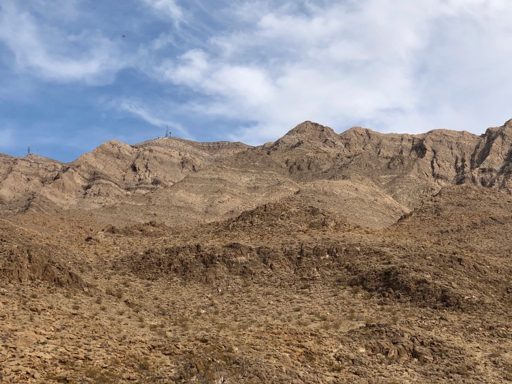
I got an early start on this wonderful hike in the Lake Mead National Recreation Area. The temperature was a delightful 62 degrees on it’s way to close to 90 so the early bird gets not only the worm, but the cooler temperatures plus I had the entire place to myself and multiple hikers showed up right after I finished so winner, winner!

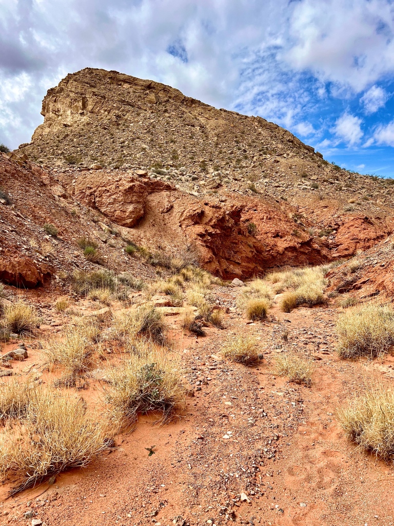
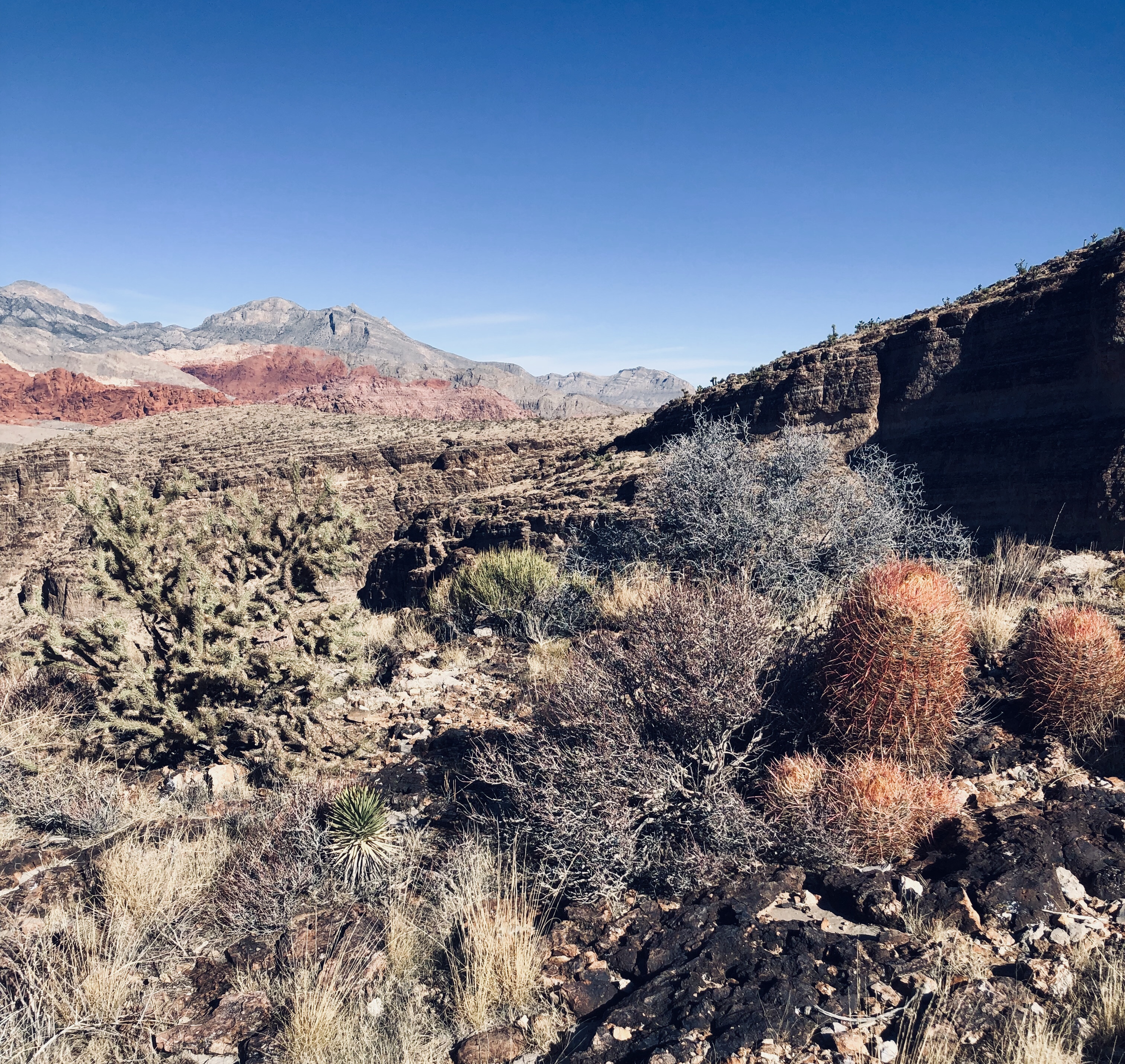
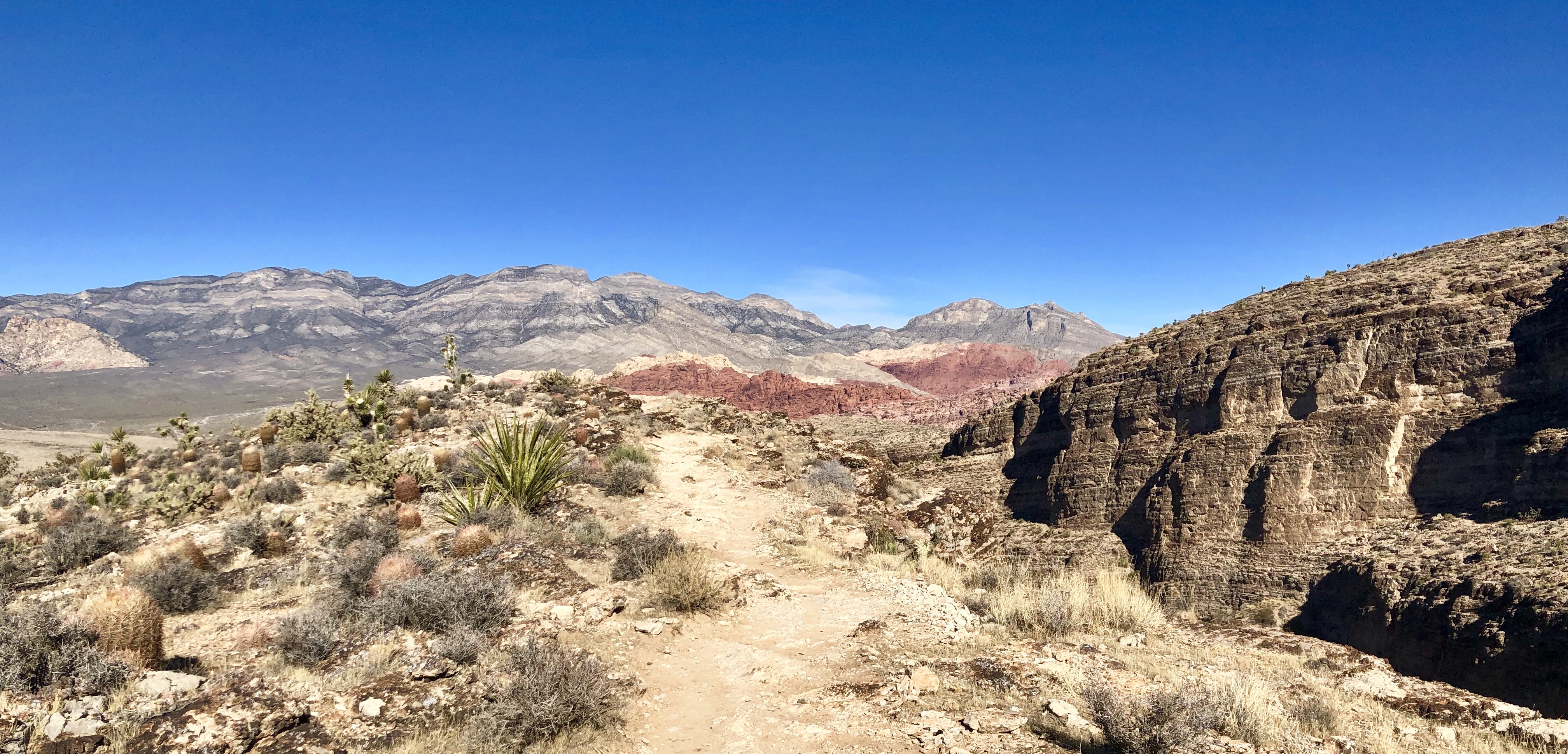
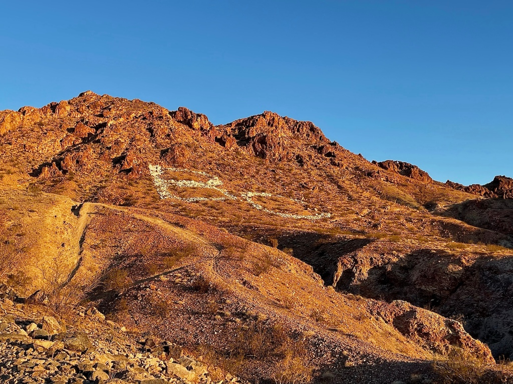
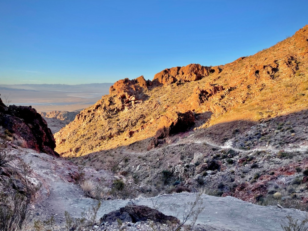
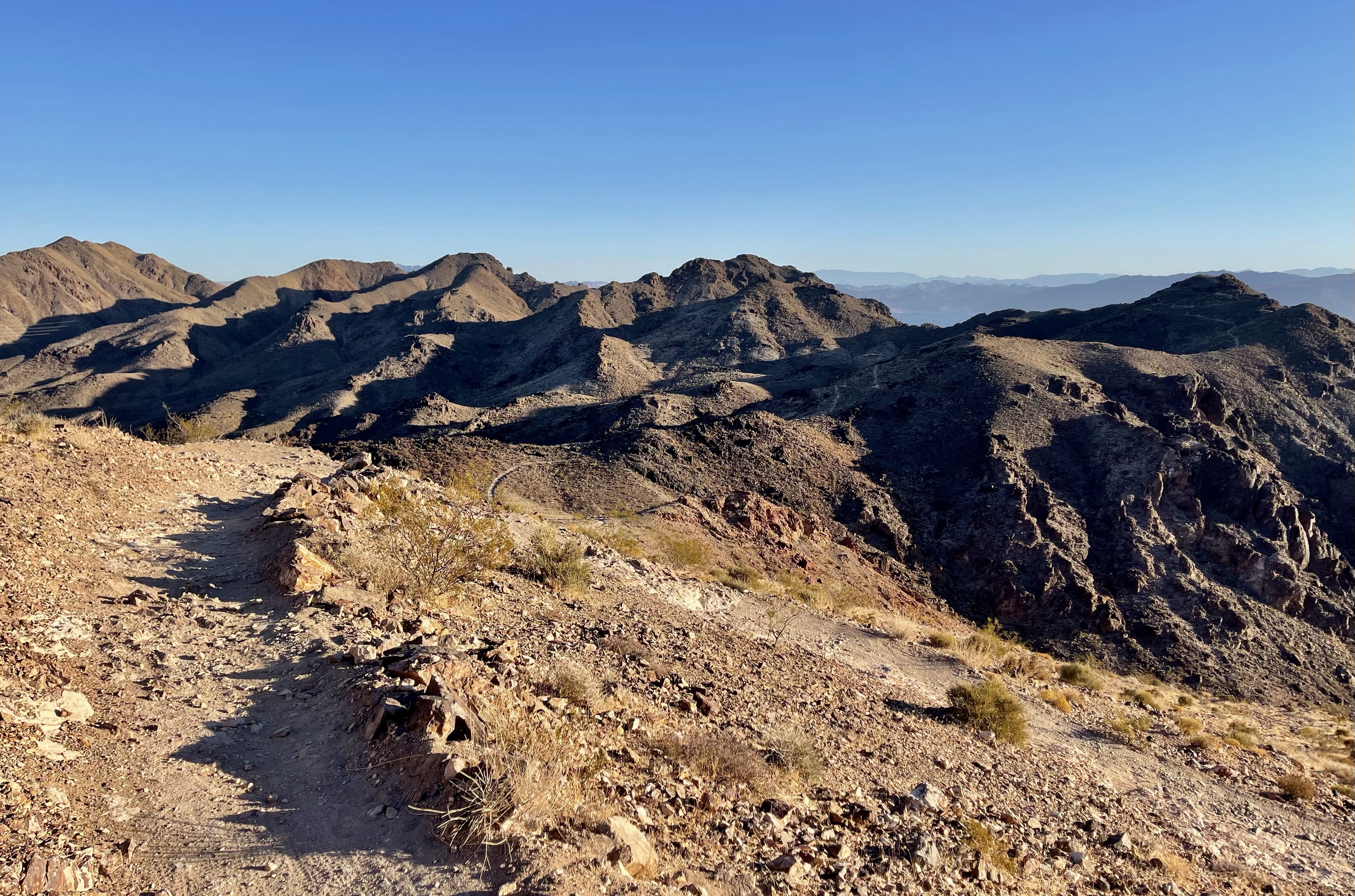
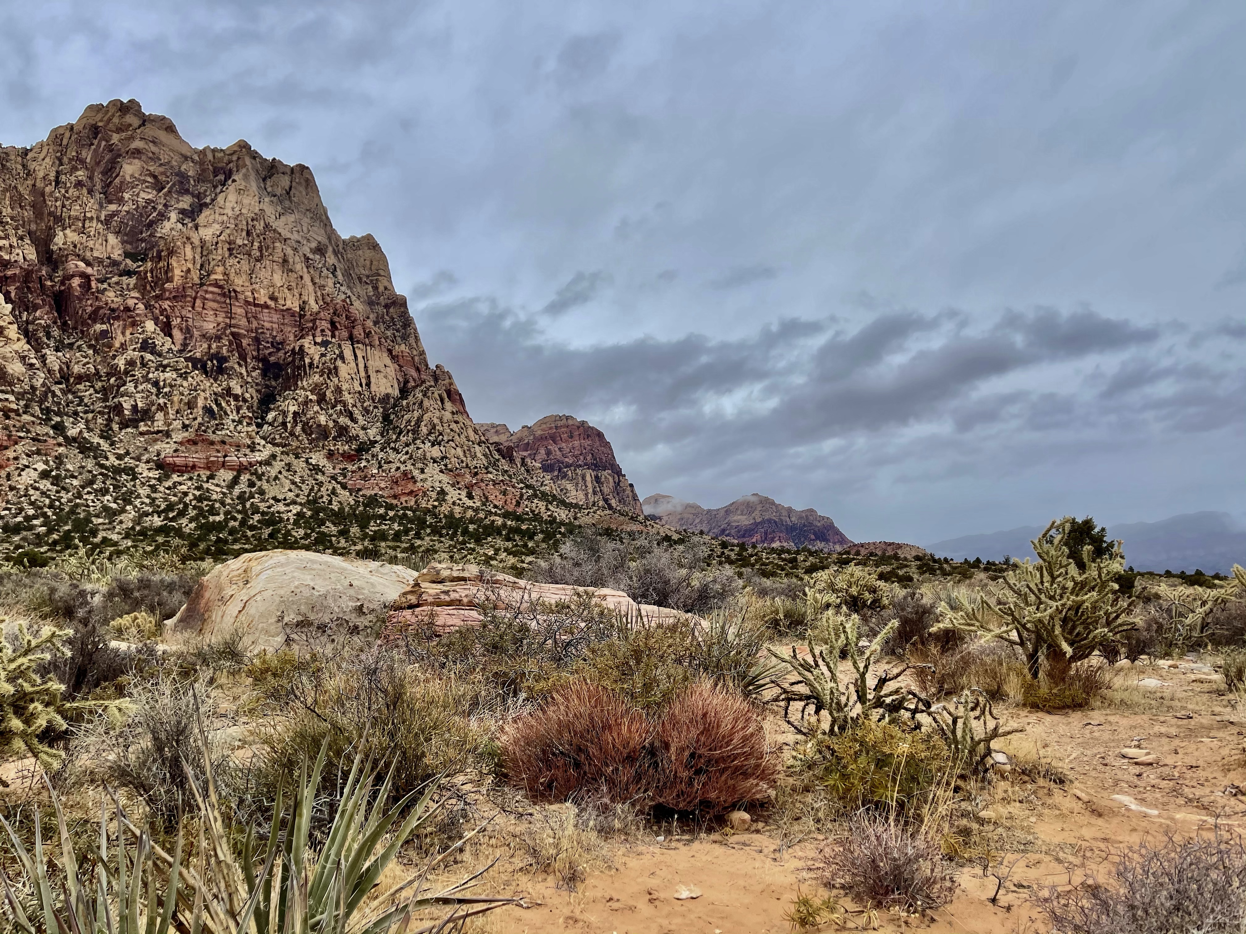
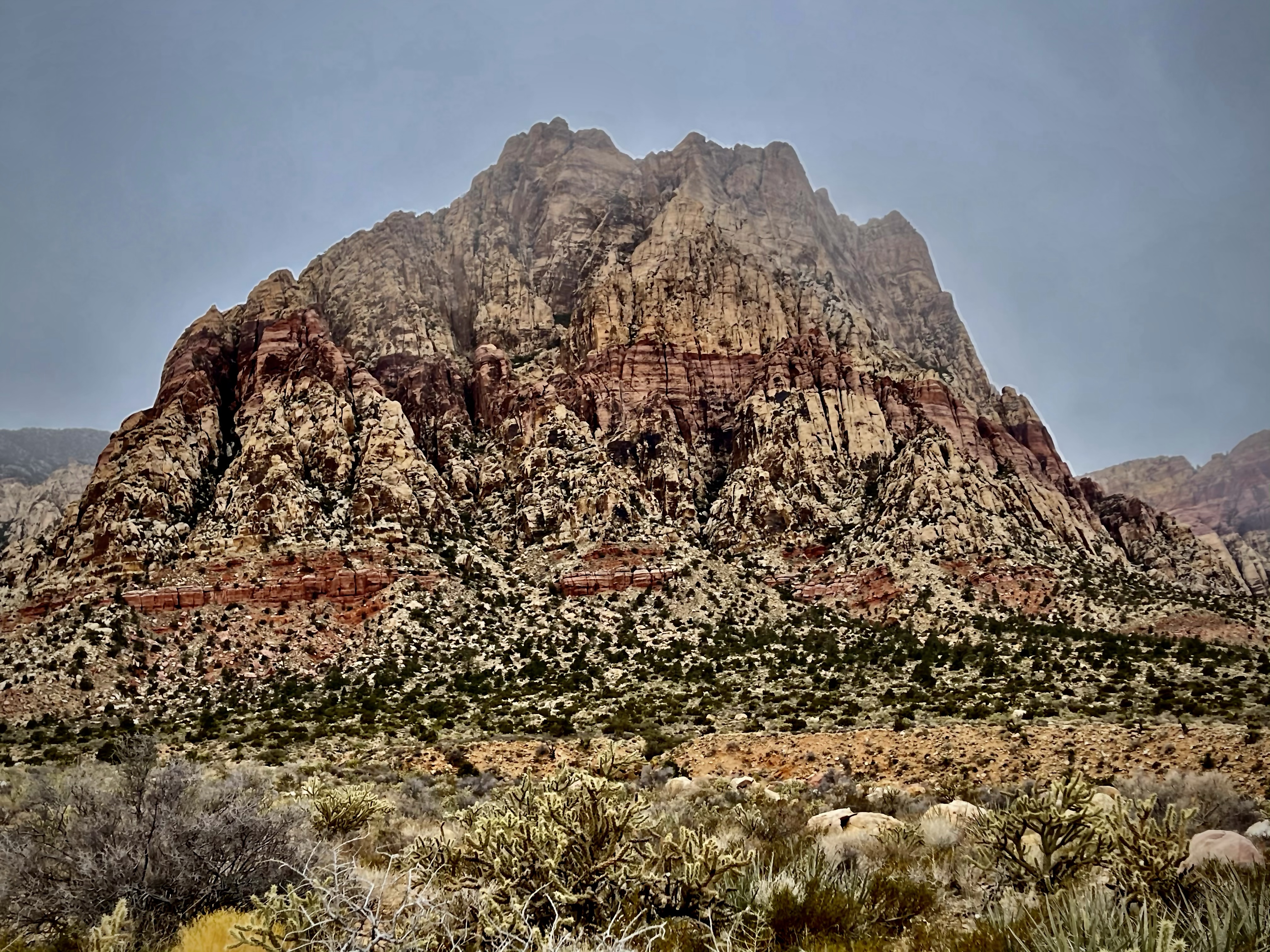
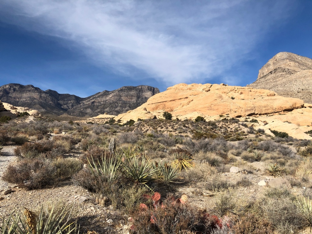
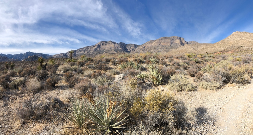
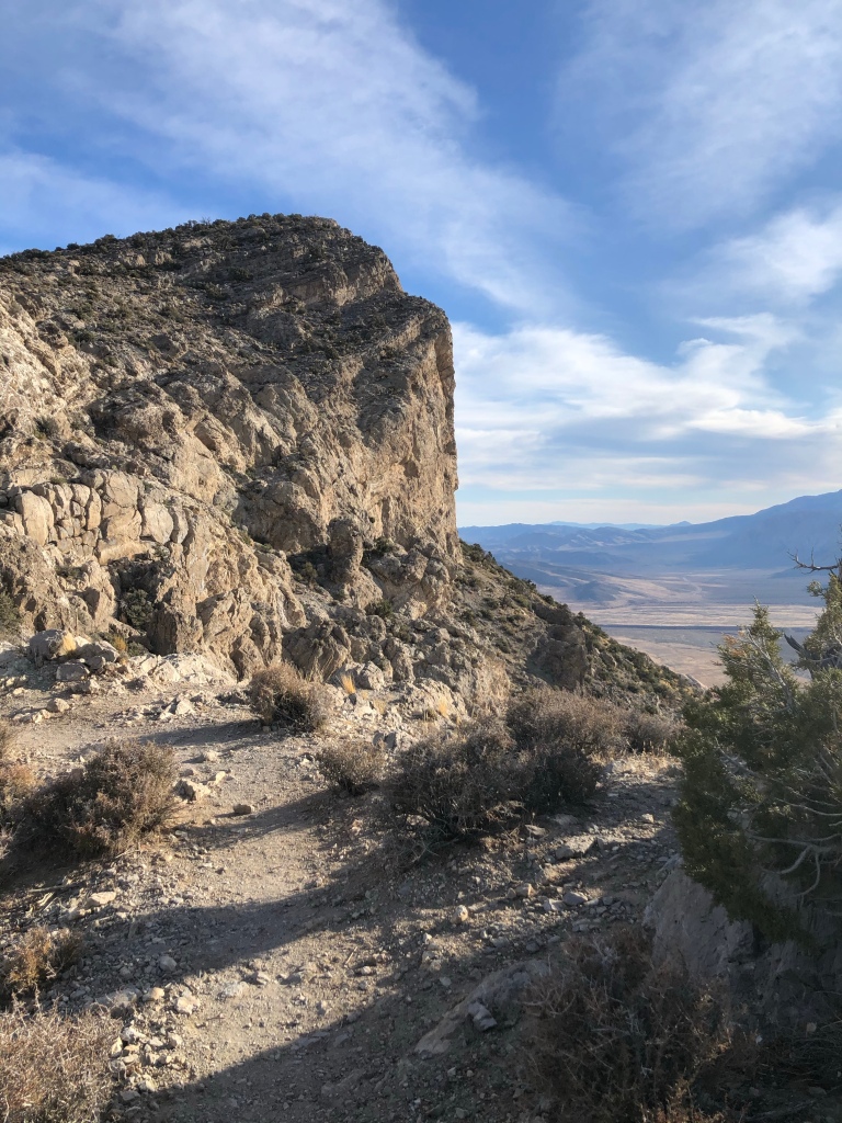
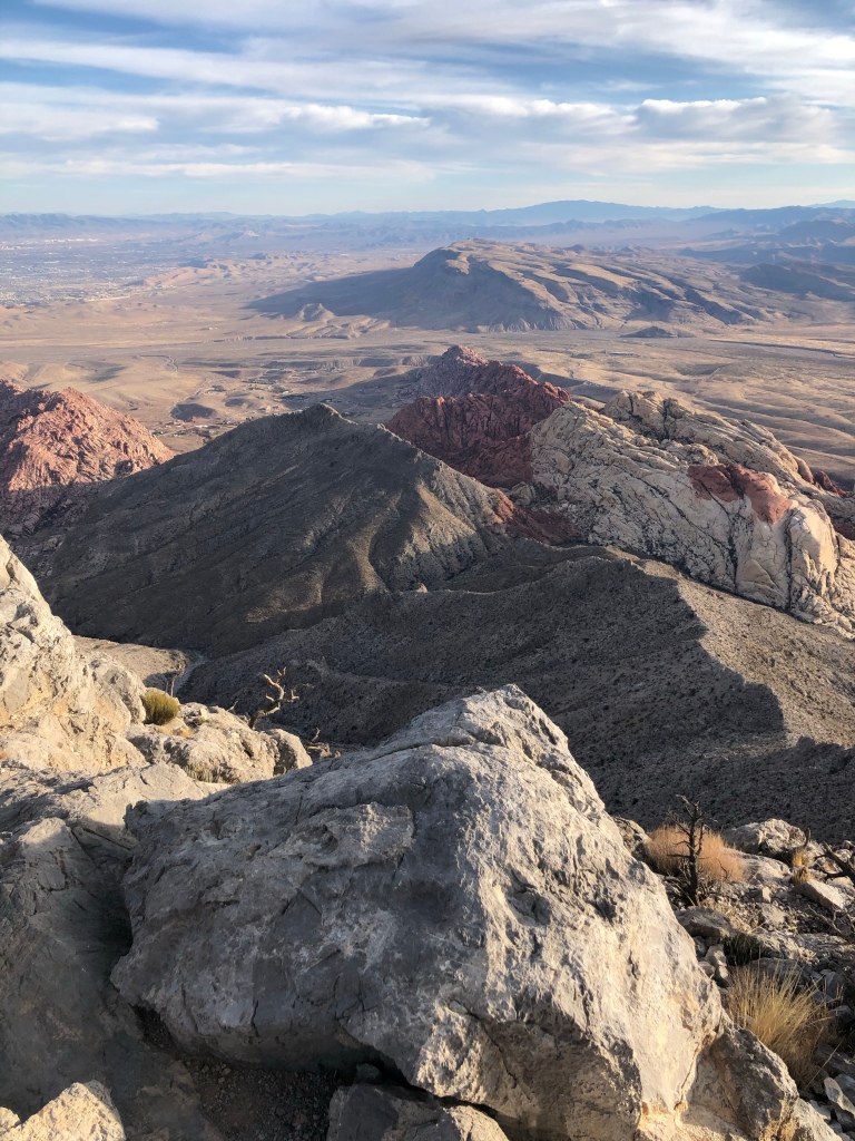
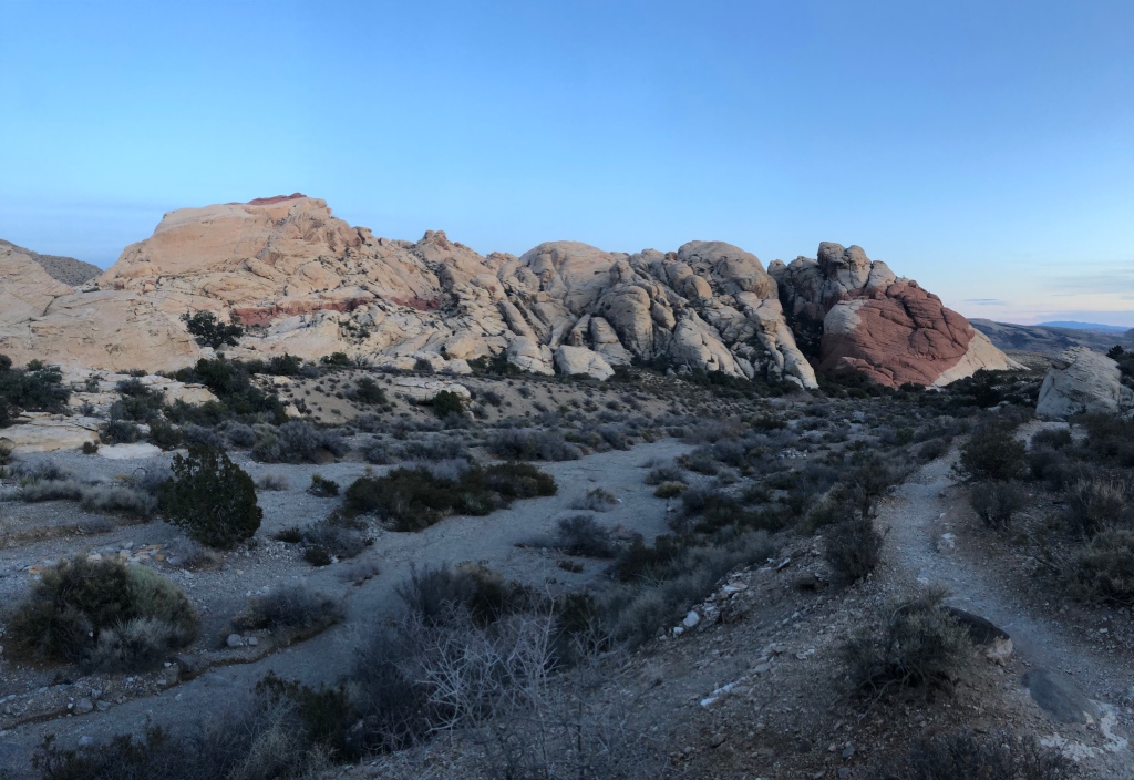
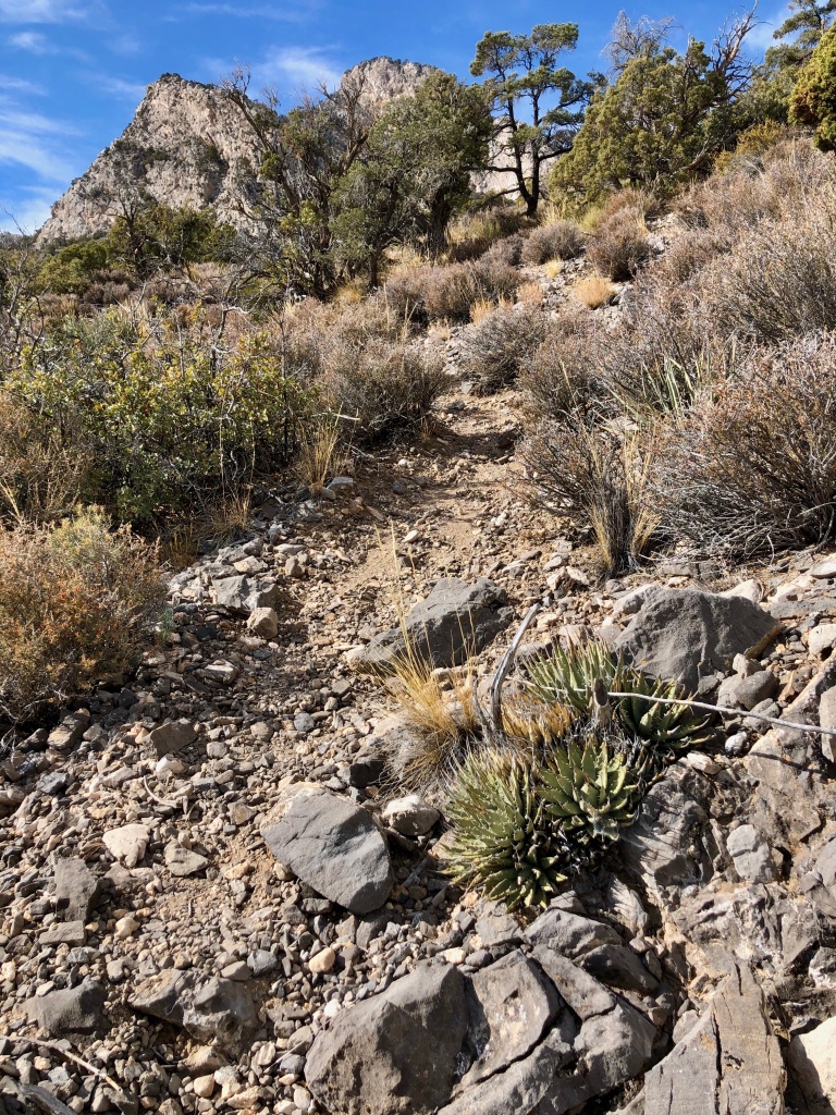
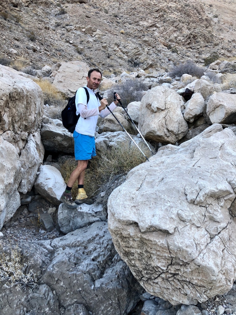
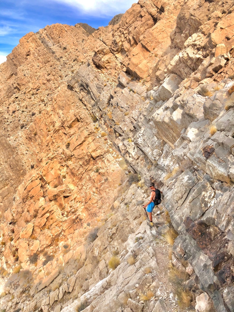
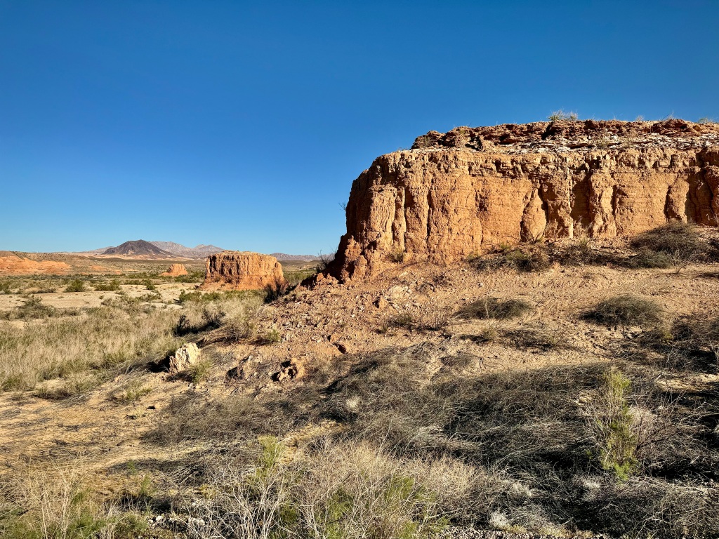
I watched the lovely full moon set, and I felt the rays of the rising sun on my face as I walked down the rather steep embankment of loose dirt, gravel and rock. Hiking poles do come in handy in this type of predicament. The desert area was just starting to show as the light of the day brought it into view, alluring, but in a rugged and unabashed fashion.


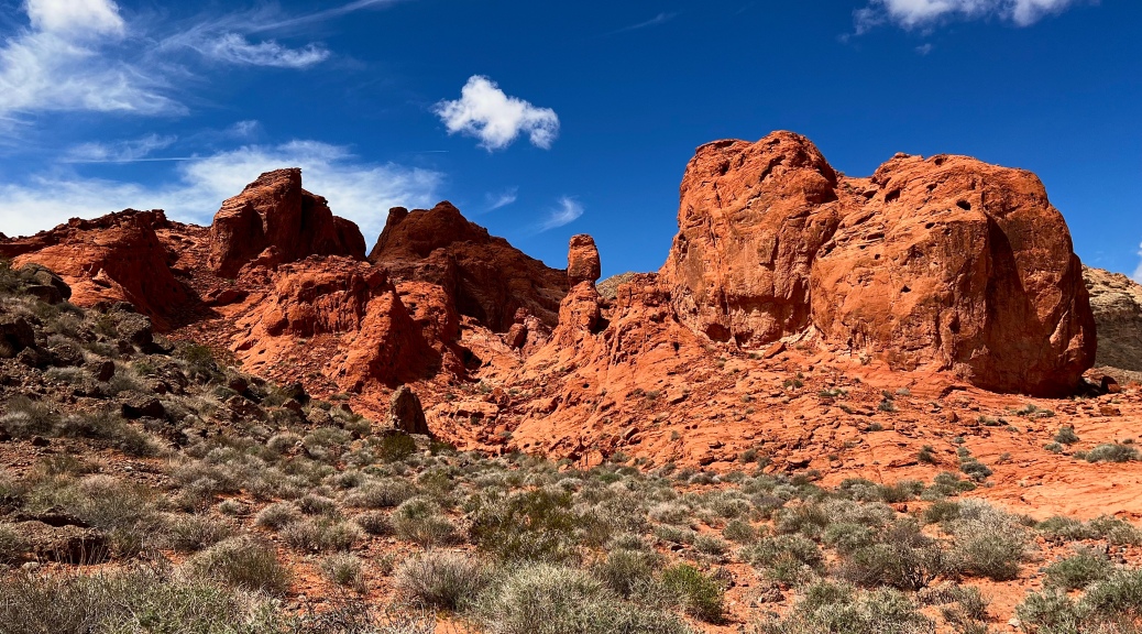
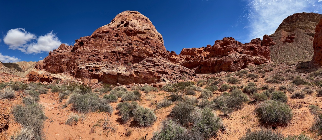
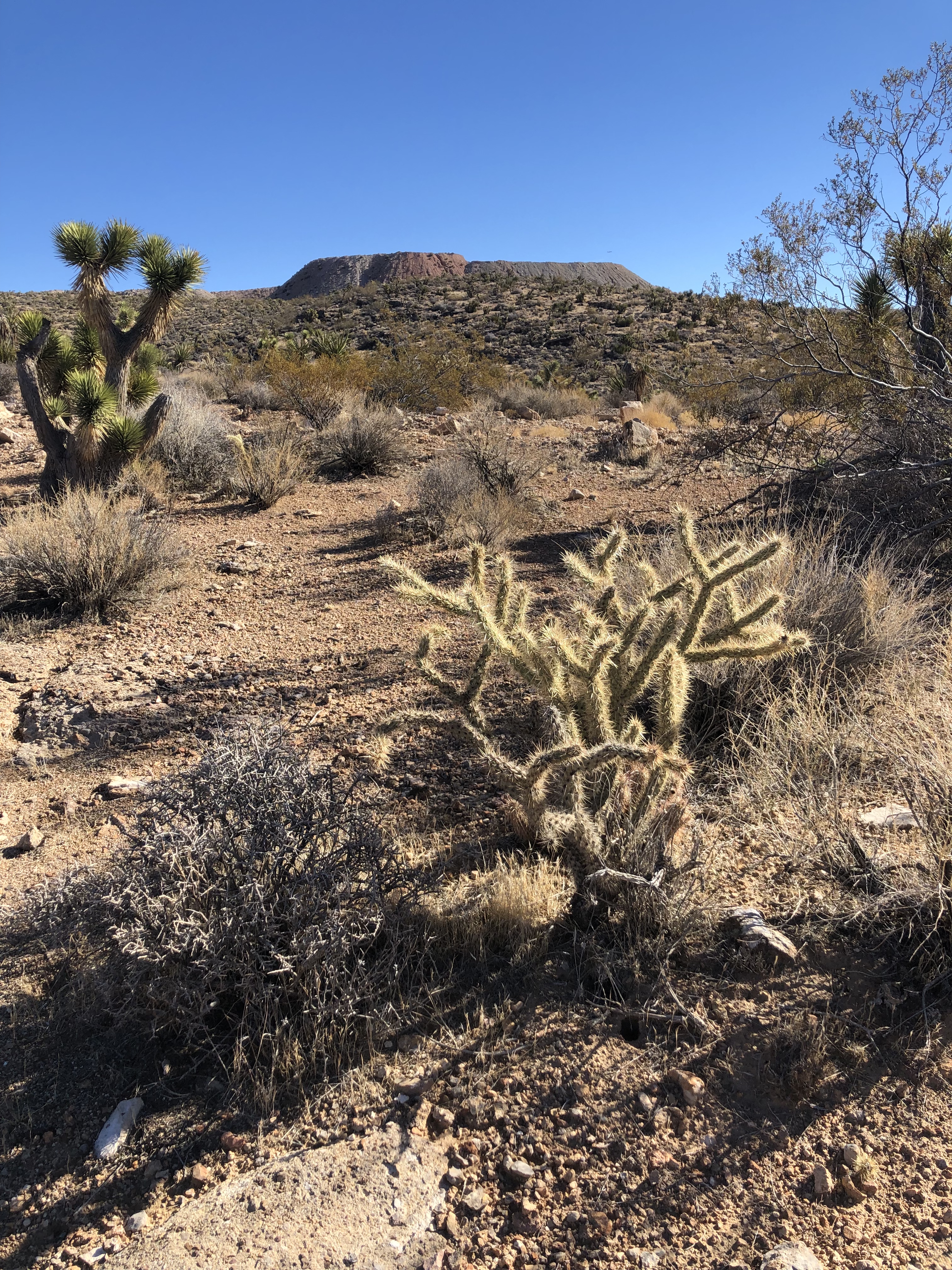
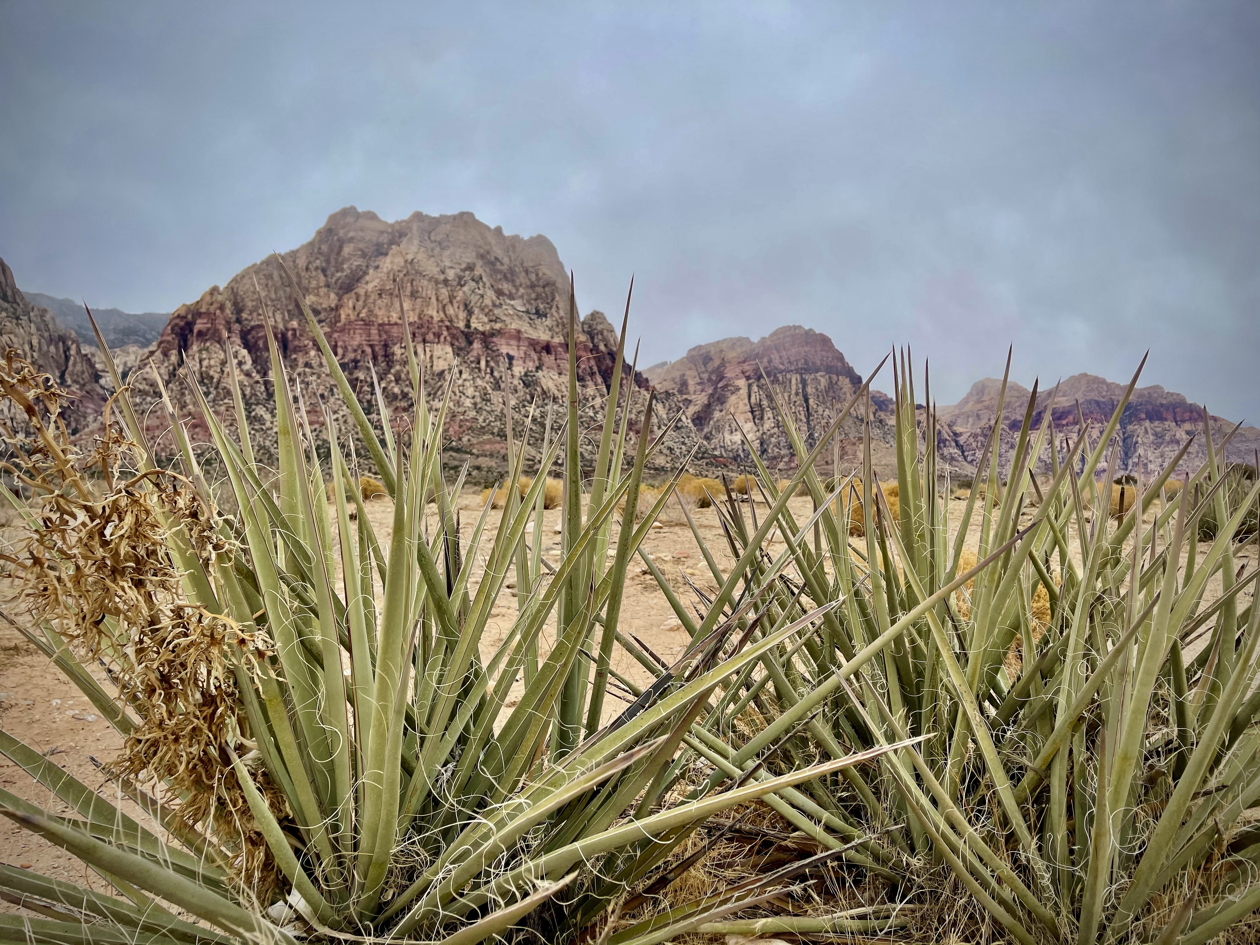
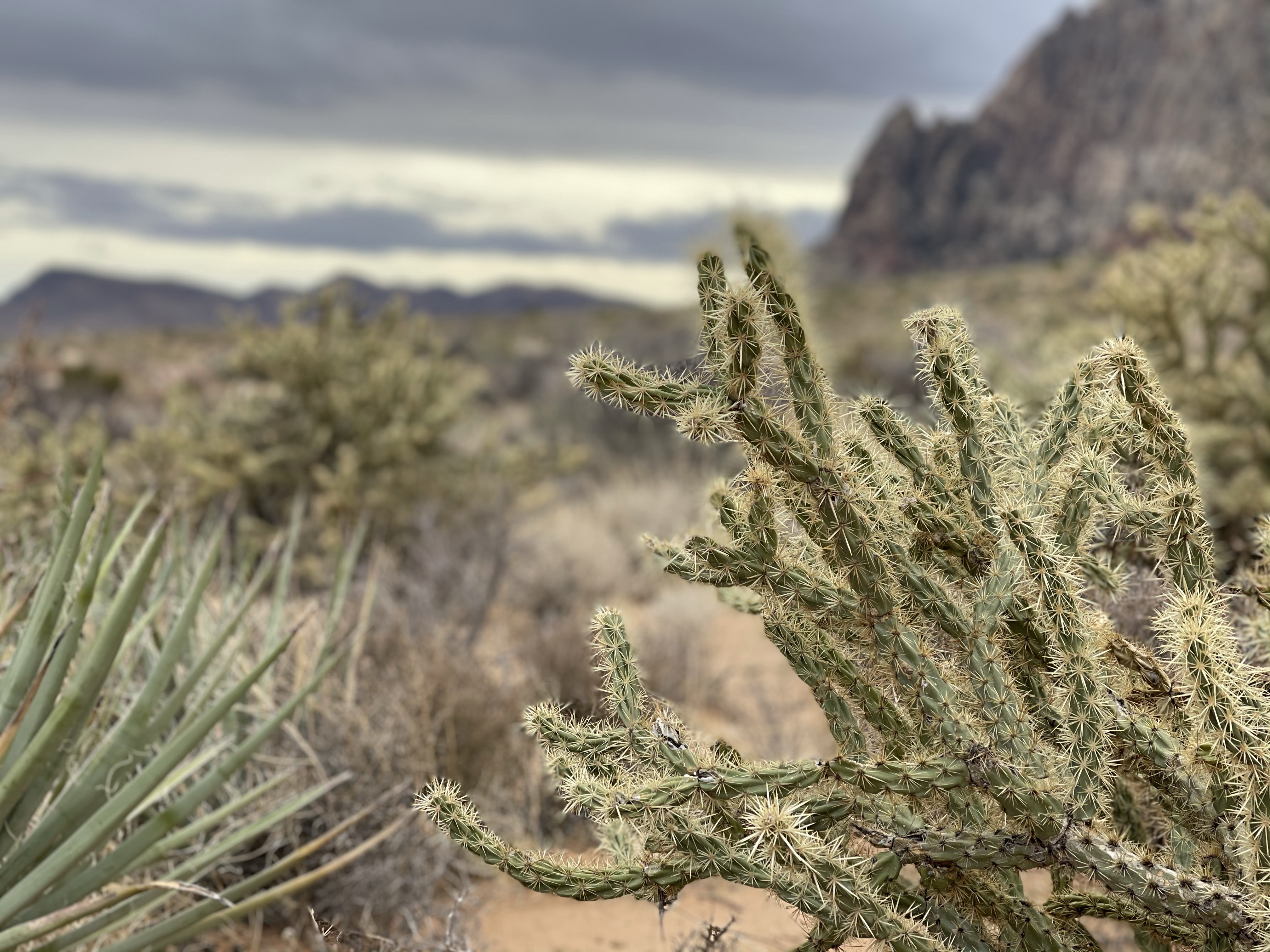
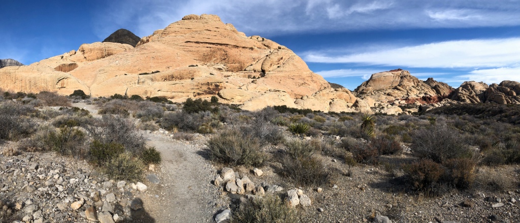
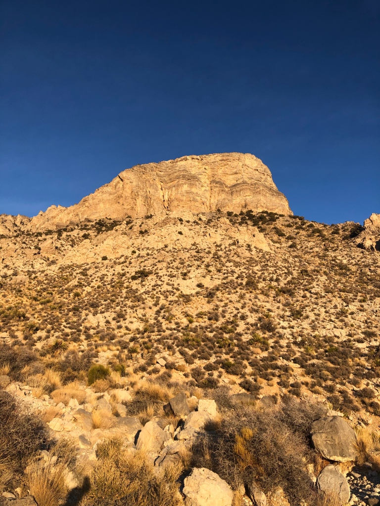
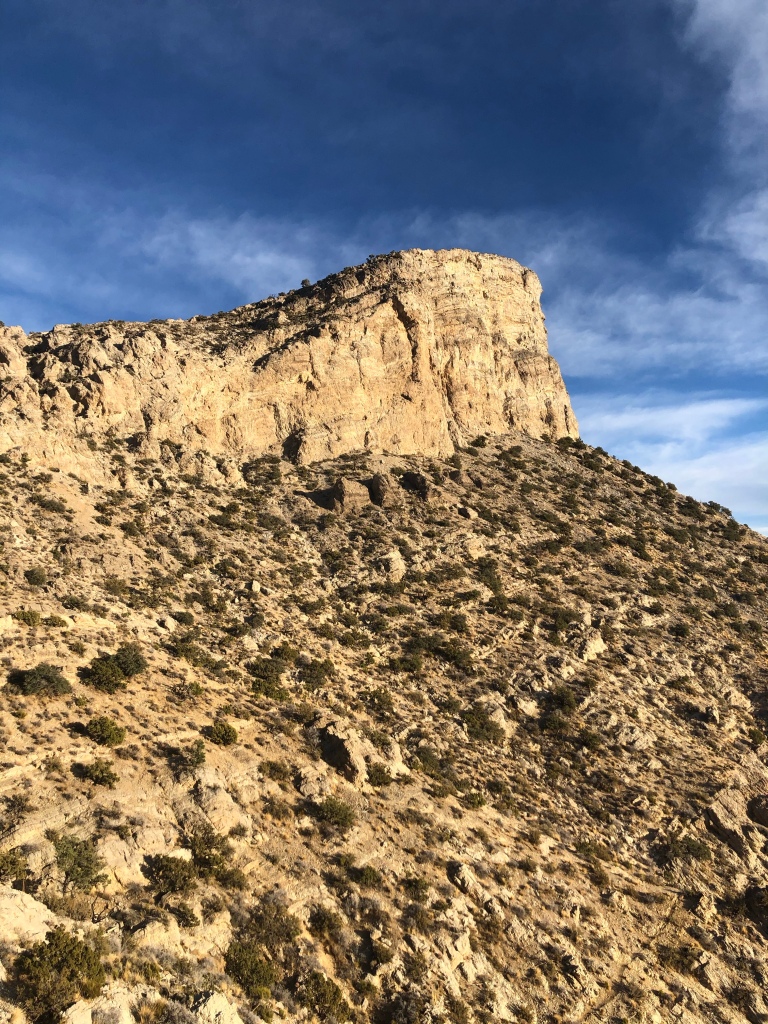
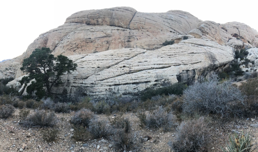
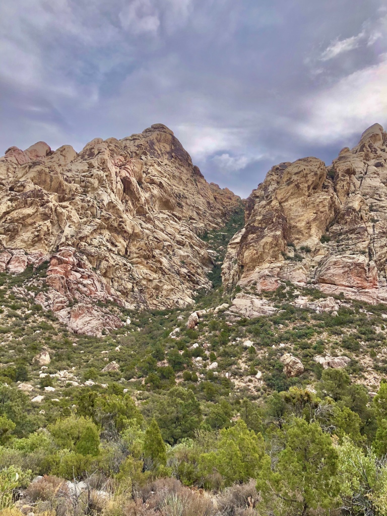
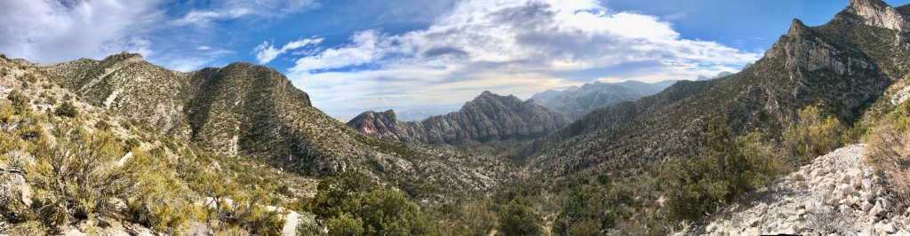
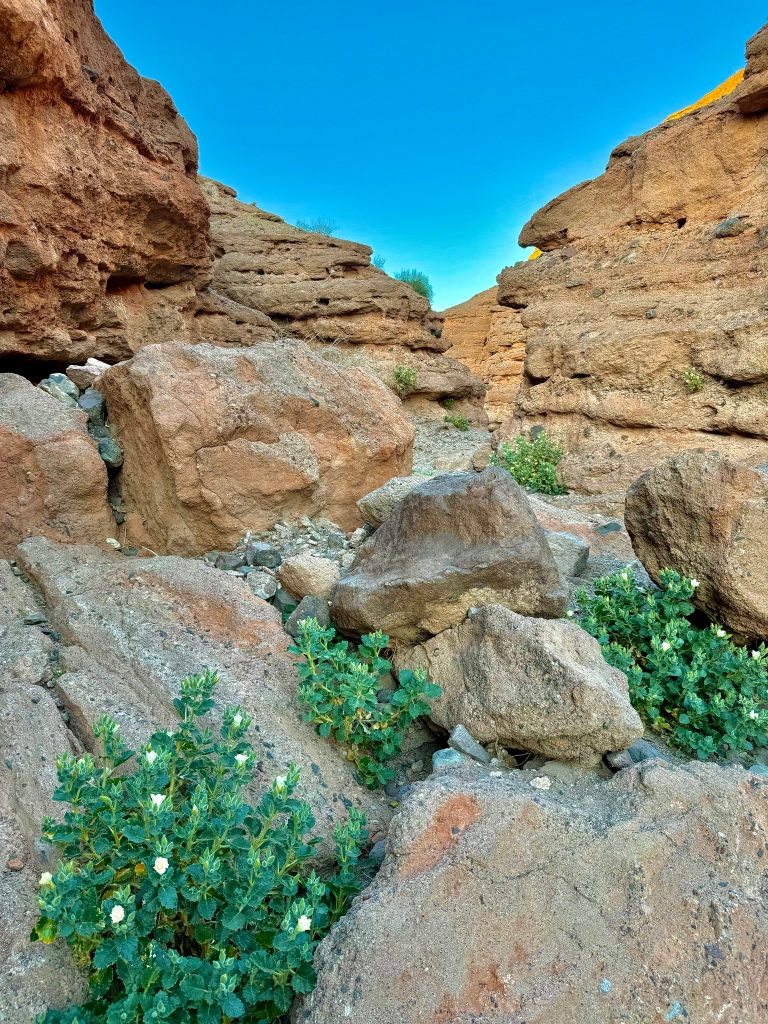
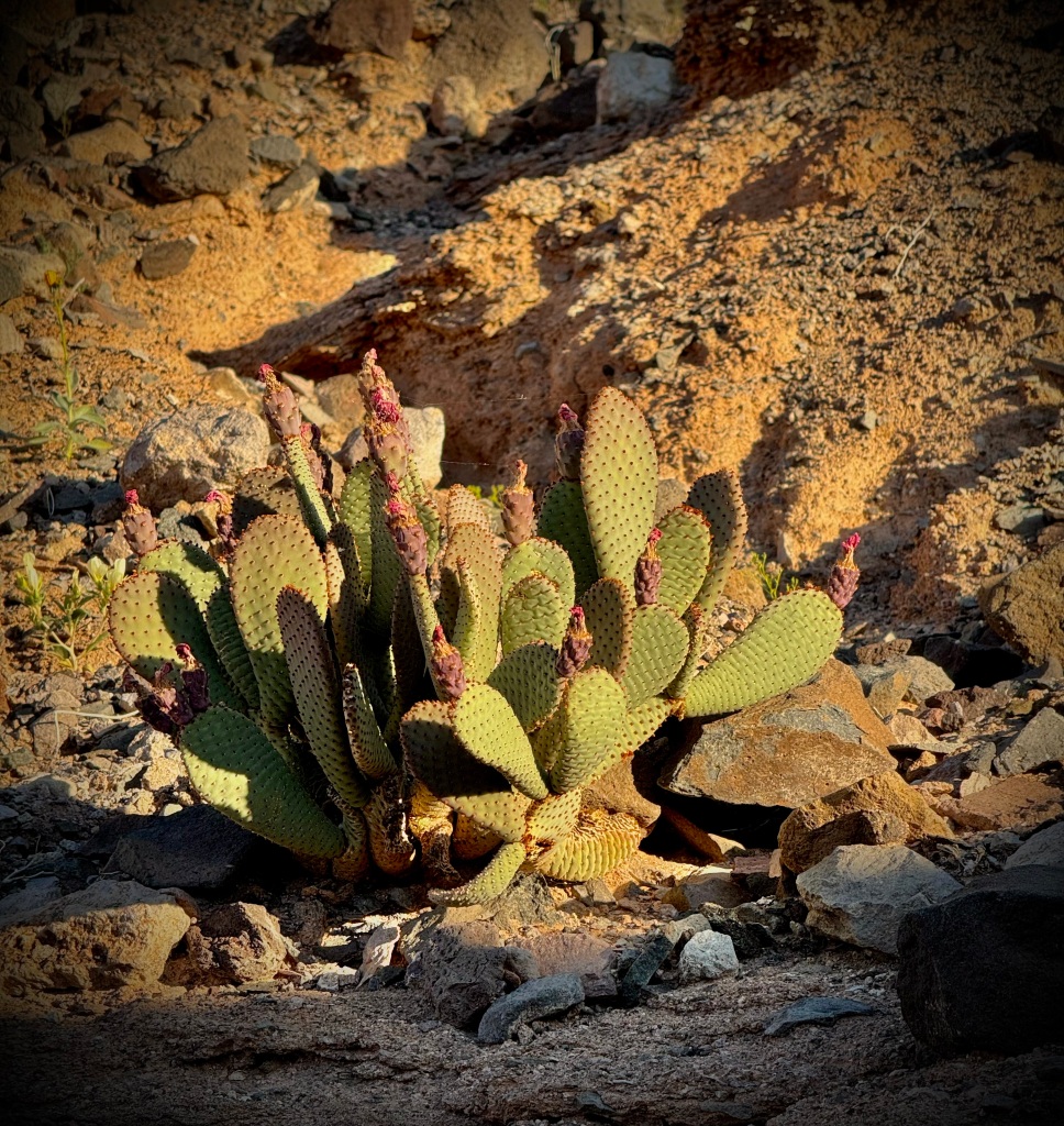
I was astounded as I approached the slot of White Owl Canyon. It seemed to be adorn with flowers as if strategically planted by a gardener. The plant, a deep green color, with pretty white flowers, next to redish-brown craggy rock at the base of the walls and seemly on shelves, decorated the canyon walls.

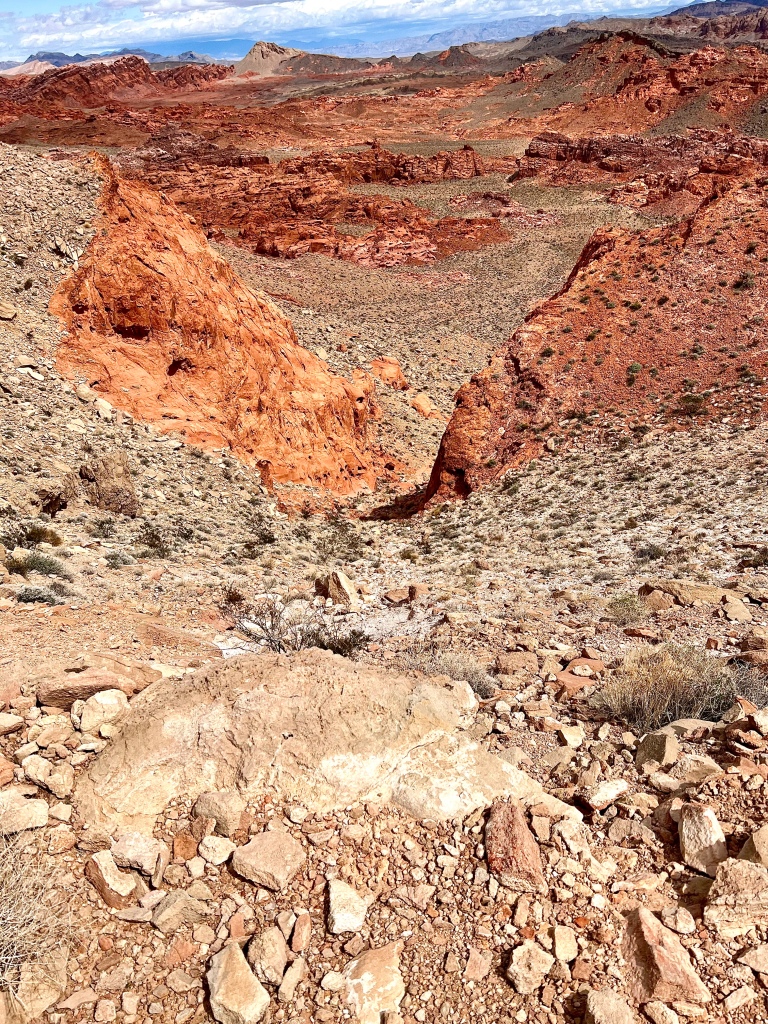
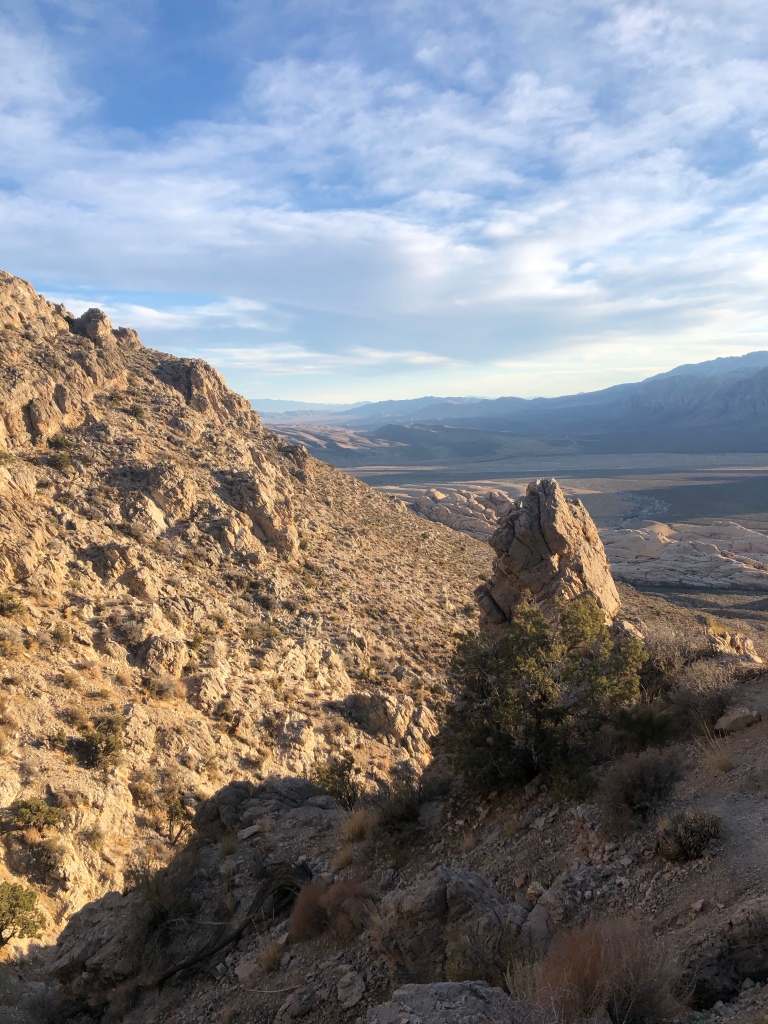
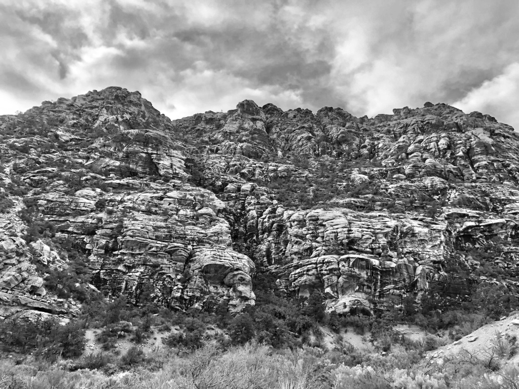
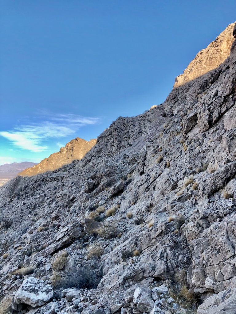
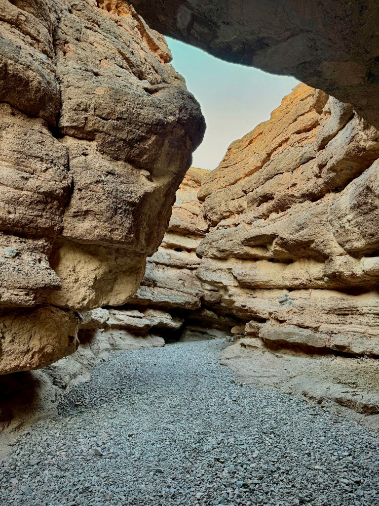
The slot of the canyon closed in as I advanced. Throughout my hike I would encounter different sections of slot canyon. It was pretty cool indeed. Love slot canyons.


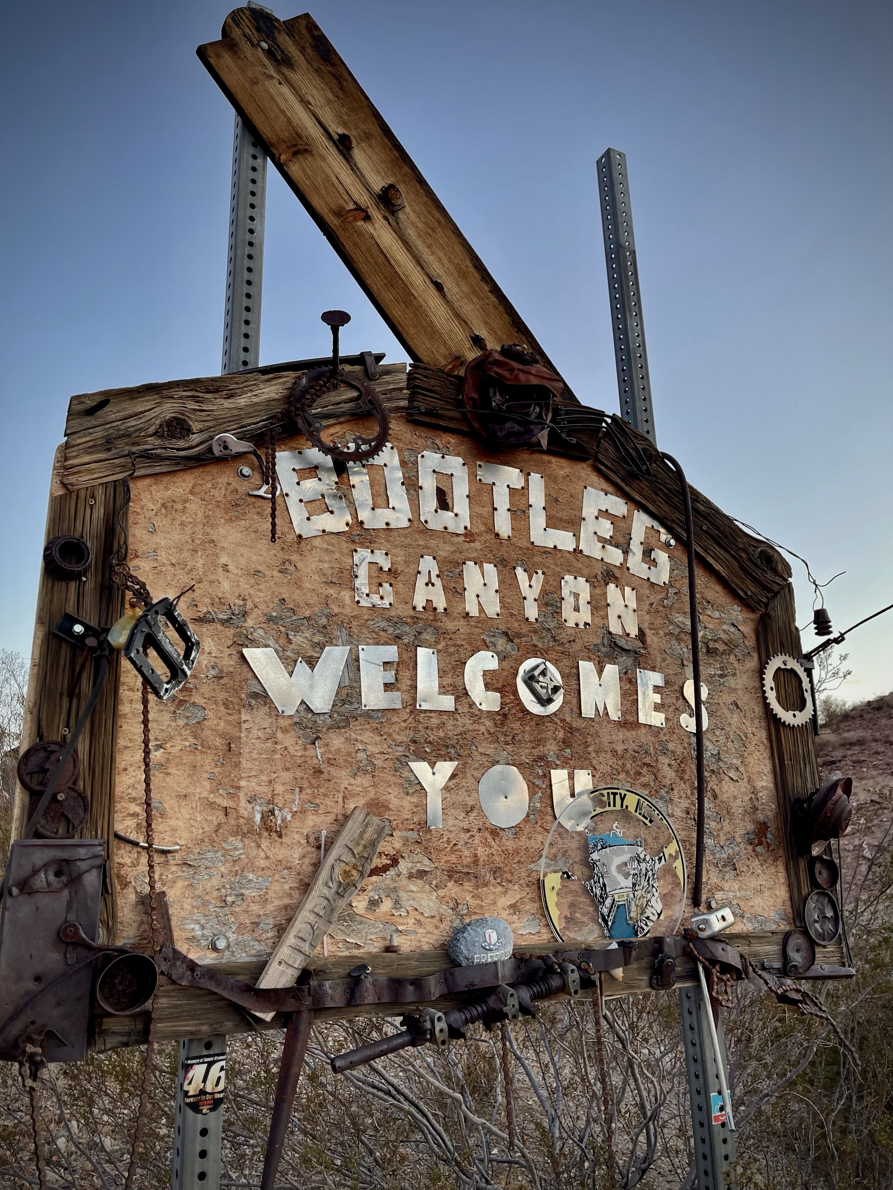
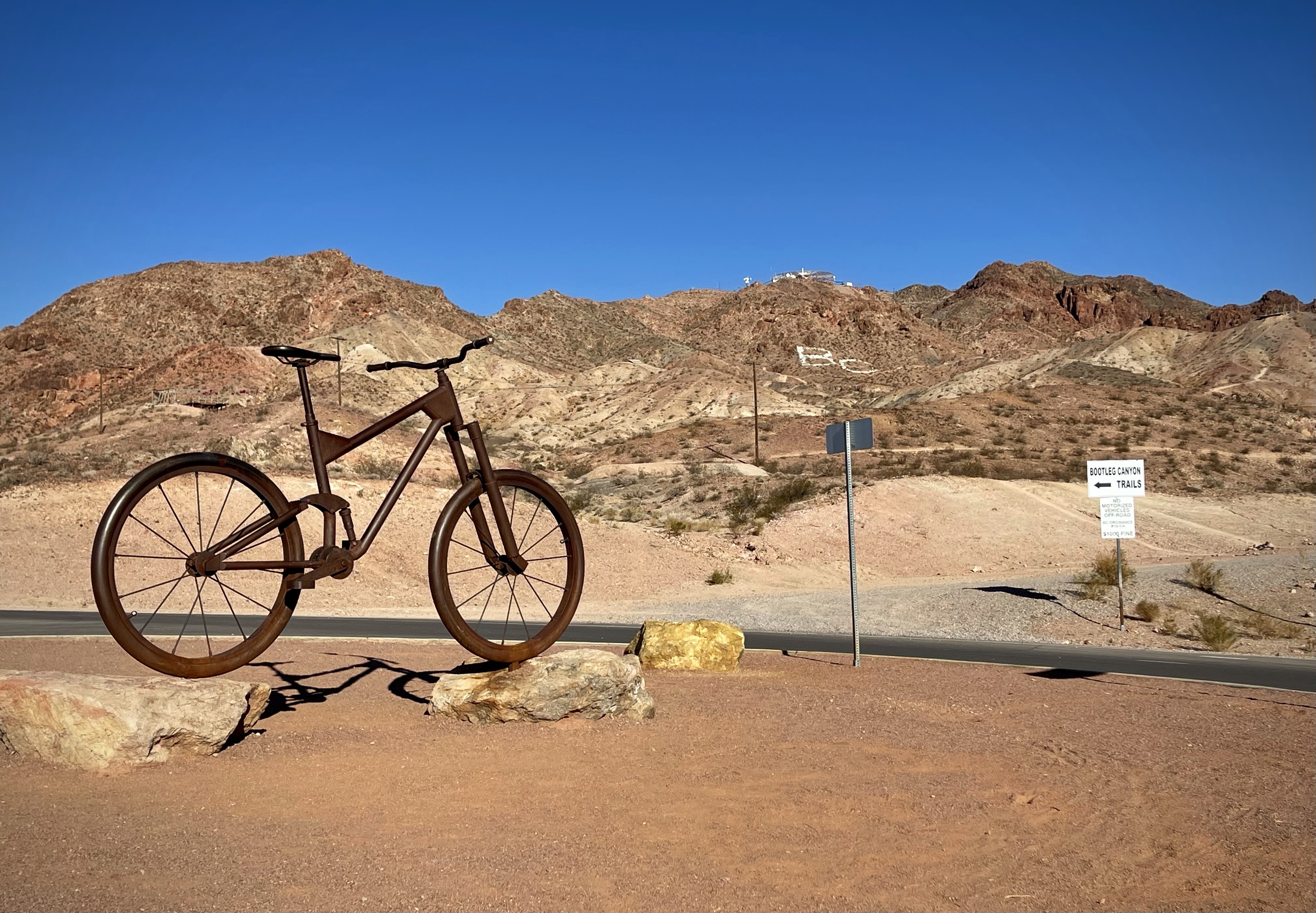
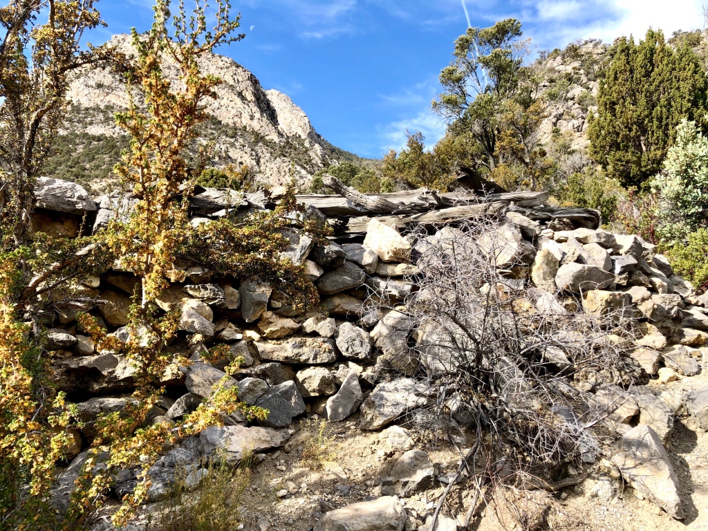
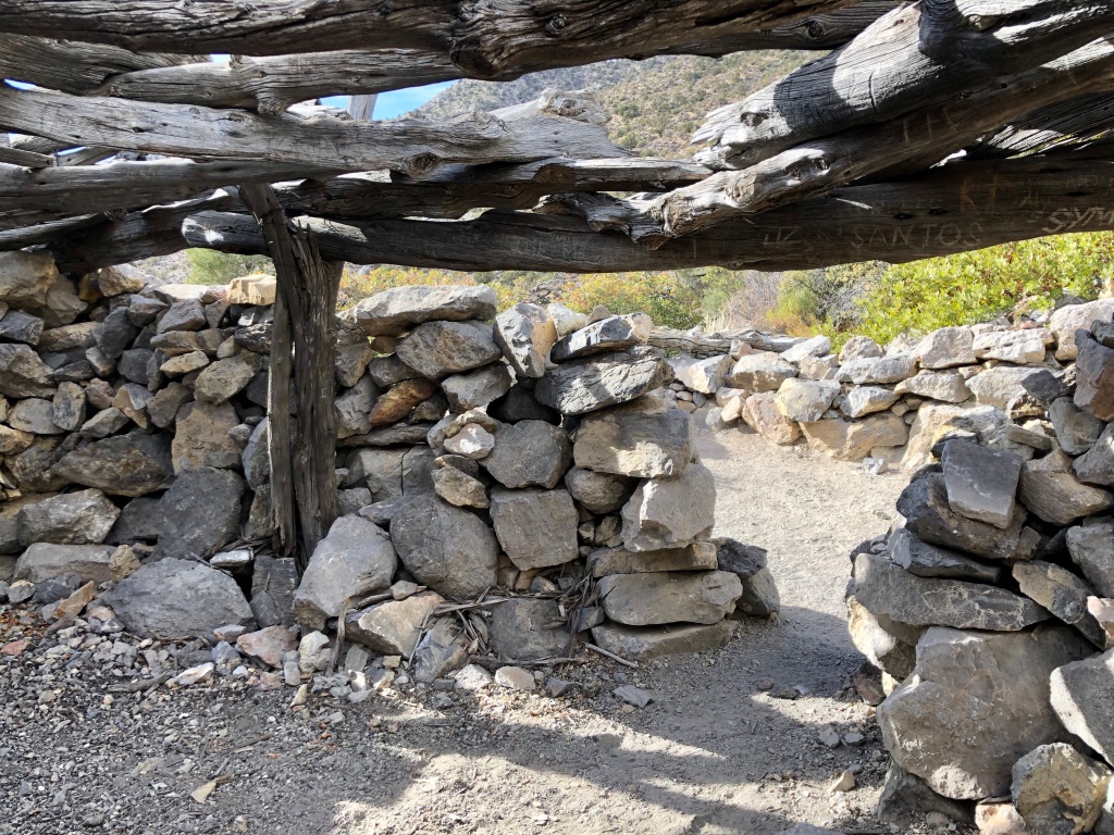
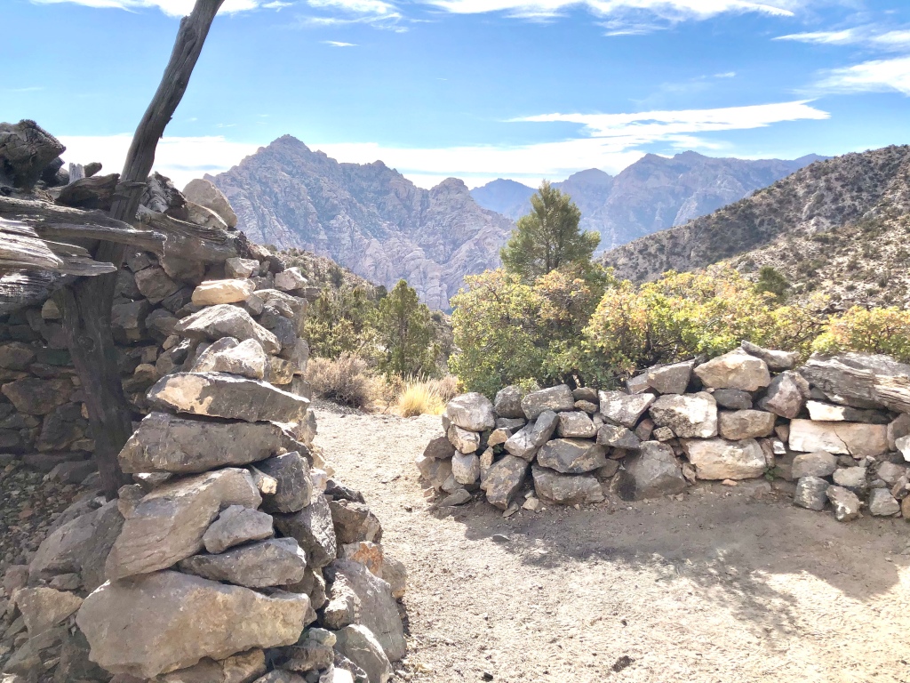
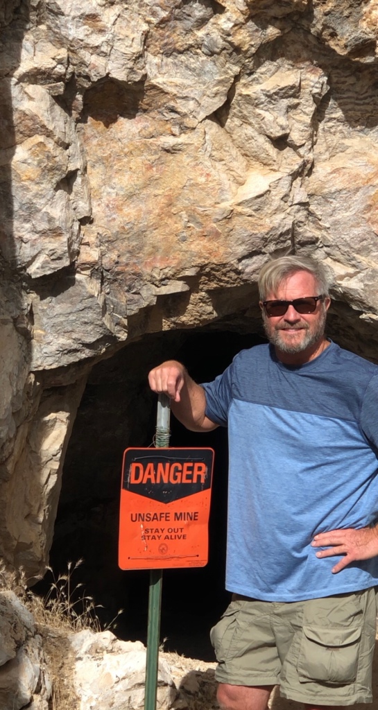
I have to say being somewhat of a nature purist, there are a three man made tunnels and a walk along a bike path that to me take away from the nature experience. One of the tunnels you would have to stoop to get through. I scrambled up the hillside on that one and went over the top of the roadway. The reason for the tunnel in the first place is so flood waters can travel through the wash and not affect the roadway above. I did the hike clockwise. When you go through the double tunnels you could scramble up a tough hillside or better yet continue through the wash for a short distance and you will see a couple trails to the right that go up and out of the wash and to the bike path above the tunnels.

Like I said when I go out into nature I want to see as much nature as possible not tunnels, roads or paved bike paths, but I will say that the beauty of the area and how cool the slot canyons are especially with the blooming flowers overwhelm any draw backs.


YouTube Channel
White Owl Canyon
CLICK THE PIC!

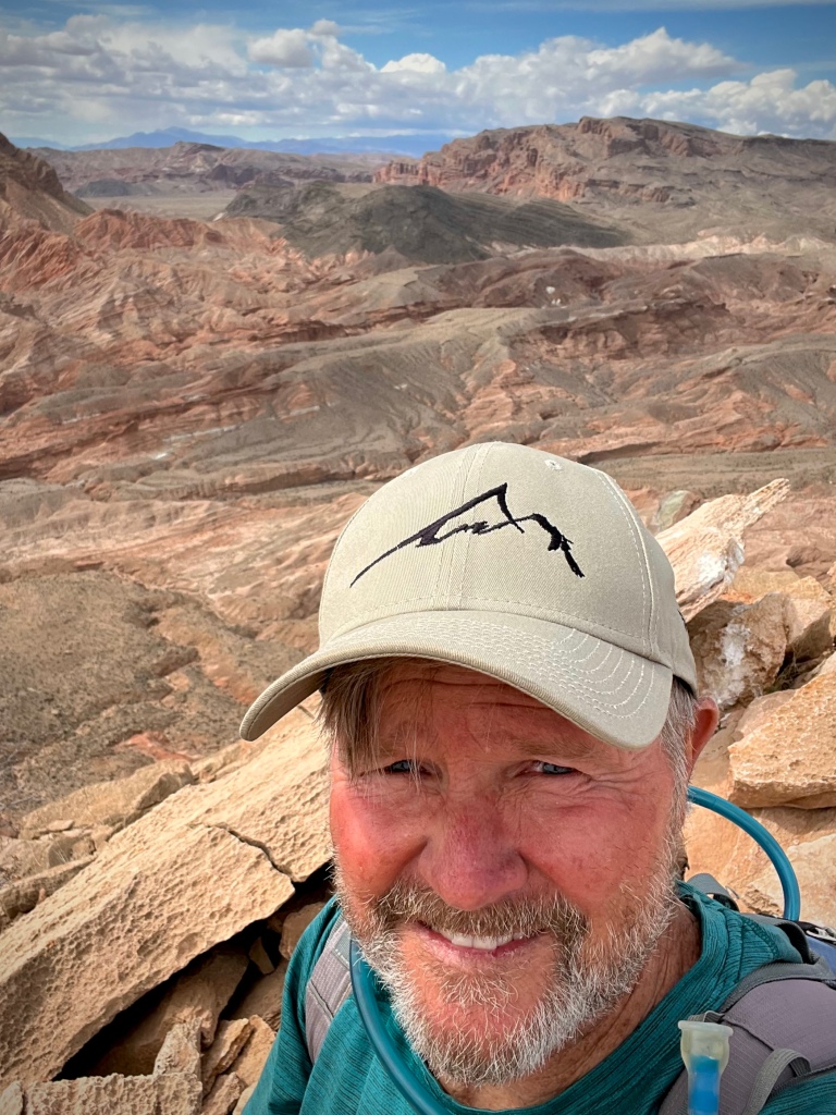
When you navigate the slot canyons of White Owl Canyon, especially with the flowers in bloom, you can’t help but smile big and bright. What that smile represents is Balance gained from profound experiences in nature, and that my friends is what ’Pursuing Balance Through Adventure’ is all about. Life is not easy, and I suppose it is meant that way, but one thing that is really important is to keep it all in check, to balance the crazy work a day, busy schedule, head aches and the ups and downs of life with the extraordinary bounty of nature and the deep emotional richness it provides. Stay with me as there are more smiles ahead. You accomplish this by doing these simple tasks: COMMENT, LIKE, FOLLOW and SHARE. You can purchase my top quality Adventure Wear at SHOP APPAREL. Go up to the menu and you will discover that PBTA ventures all over the West of this great country of ours. There are many magical places to explore and please use this to inspire your next adventure. Each location is a separate website and thus needs to be FOLLOWED independently.
Happy Trails-
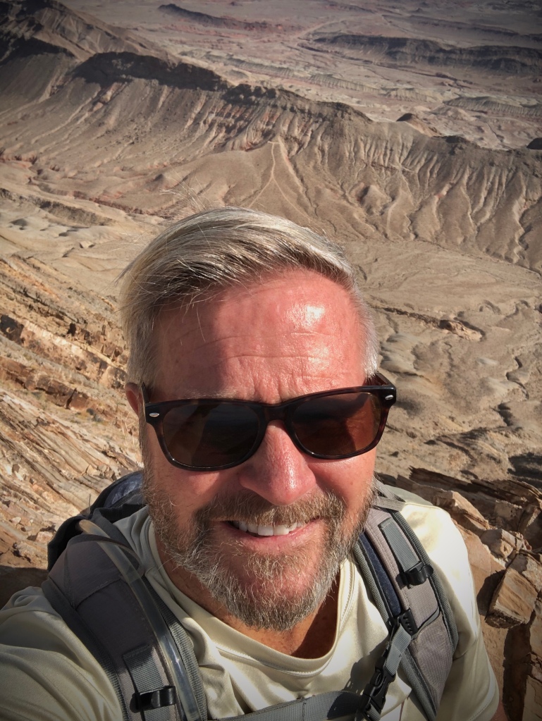
Roger Jenkins
Pursing Balance Through Adventure